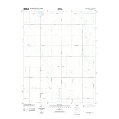
2012 Map of Halstead NW
USGS Topo · Published 2012About this map
The agricultural landscape of Reno County is defined by a rigorous section-line road grid and the meandering path of Blaze Fork. In the southern portion of the quadrangle, the industrial footprint of the Hollow Nikkel Oil Field punctuates the prairie, while historical community centers are preserved at sites like Ebenezer Cem and Hebron Cem. The map reveals a fascinating geological character with the presence of Big Sinkhole and the nearby Lake Inman, highlighting the unique hydrology of the region. Drainage is further managed by Big Slough and Turkey Cr, which cross through the systematically named road network including Cheyenne Rd and Arapaho Rd. These details provide a clear picture of how land use and natural water features intersect in this part of Kansas.
Find a feature on this map
37 named features on this map. Tap any name to fly to it.
Don’t see what you’re looking for? This feature index may not catch every label — zoom into the map to look around manually.
Map Details
Editions of this 2012 Halstead NW Map
This is the sole edition of this map. No revisions or reprints were ever made.
Other maps of this area

1891 · Hutchinson
USGS Topo · 1:125,000

1893 · Hutchinson
USGS Topo · 1:125,000

1955 · Hutchinson
USGS Topo · 1:250,000

1959 · Hutchinson
USGS Topo · 1:250,000
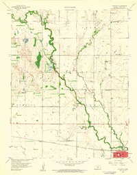
1959 · Halstead
USGS Topo · 1:24,000
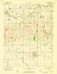
1959 · Burrton
USGS Topo · 1:24,000
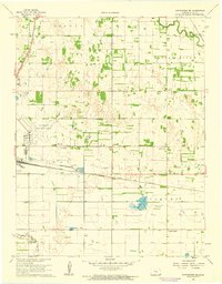
1961 · Hutchinson SE
USGS Topo · 1:24,000

1964 · Conway
USGS Topo · 1:24,000

1965 · Mc Pherson South
USGS Topo · 1:24,000

1965 · Halstead NW
USGS Topo · 1:24,000