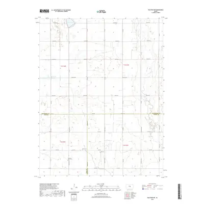
2018 Map of Halstead NW
USGS Topo · Published 2018About this map
Lake Inman and the Big Sinkhole dominate the northern terrain of this agricultural landscape along the borders of McPherson, Reno, and Harvey counties. This 2018 survey documents a region defined by its hydrography, where the Blaze Fork and Turkey Cr drain the level plains. The map is particularly useful for genealogical research, identifying several rural burial grounds including the Little River Township Cem, Ebenezer Cem, and Hebron Cem. The rectangular survey system is clearly visible through a dense grid of section-line roads, such as Cheyenne Rd and Woodberry Rd, which connect isolated farmsteads. The presence of Big Slough in the east further emphasizes the low-lying, water-carved character of the central Kansas prairie as it appeared in the late 2010s.
Find a feature on this map
44 named features on this map. Tap any name to fly to it.
Don’t see what you’re looking for? This feature index may not catch every label — zoom into the map to look around manually.
Map Details
Editions of this 2018 Halstead NW Map
This is the sole edition of this map. No revisions or reprints were ever made.
Other maps of this area

1891 · Hutchinson
USGS Topo · 1:125,000

1893 · Hutchinson
USGS Topo · 1:125,000

1955 · Hutchinson
USGS Topo · 1:250,000

1959 · Hutchinson
USGS Topo · 1:250,000
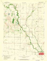
1959 · Halstead
USGS Topo · 1:24,000
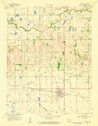
1959 · Burrton
USGS Topo · 1:24,000
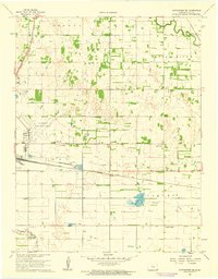
1961 · Hutchinson SE
USGS Topo · 1:24,000

1964 · Conway
USGS Topo · 1:24,000

1965 · Mc Pherson South
USGS Topo · 1:24,000

1965 · Halstead NW
USGS Topo · 1:24,000