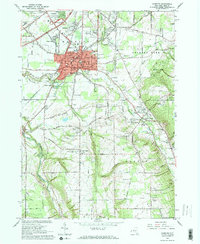
1965 Map of Hamburg
USGS Topo · Published 1968About this map
The town of Hamburg serves as the central hub of this 1965 survey, showcasing a mix of established village blocks and expanding suburban developments south of Buffalo. The Erie-Lackawanna railroad cuts diagonally through the landscape, linking the residential areas of Scranton and Forest Glen with the commercial heart of the village. Significant local landmarks include the Erie County Fairgrounds and several parochial institutions like St Marys Sch and SS Peter and Paul Sch, which reflect the community's dense social and educational fabric.
Find a feature on this map
72 named features on this map. Tap any name to fly to it.
Don’t see what you’re looking for? This feature index may not catch every label — zoom into the map to look around manually.
Map Details
Editions of this 1965 Hamburg Map
3 editions found
Other maps of this area

1894 · Buffalo
USGS Topo · 1:62,500

1901 · Buffalo
USGS Topo · 1:62,500

1905 · Depew
USGS Topo · 1:62,500

1905 · Eden
USGS Topo · 1:62,500

1907 · Eden
USGS Topo · 1:62,500

1925 · Springville
USGS Topo · 1:62,500

1944 · Eden
USGS Topo · 1:62,500

1944 · North Collins
USGS Topo · 1:31,680

1944 · Hamburg
USGS Topo · 1:31,680

1944 · Langford
USGS Topo · 1:31,680