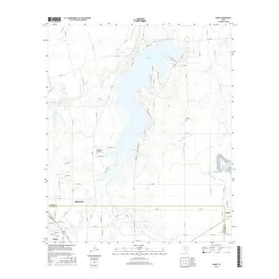
2016 Map of Hamby
USGS Topo · Published 2016About this map
Lake Fort Phantom Hill dominates this north-central Texas landscape, serving as a primary reservoir for the growing outskirts of Abilene. The map detail captures the complex hydrology of the region, where the Clear Fork Diversion Dam manages the flow of the Clear Fork river into the larger lake body. The shoreline is marked by distinct topographical features like Cheyenne Cove and Arrow Pt, which are surrounded by a developing network of residential roads such as Poverty Point Cir and Mohegan Rd.
Find a feature on this map
89 named features on this map. Tap any name to fly to it.
Don’t see what you’re looking for? This feature index may not catch every label — zoom into the map to look around manually.
Map Details
Editions of this 2016 Hamby Map
This is the sole edition of this map. No revisions or reprints were ever made.
Other maps of this area

1890 · Abilene
USGS Topo · 1:125,000

1891 · Anson
USGS Topo · 1:125,000

1892 · Abilene
USGS Topo · 1:125,000

1893 · Anson
USGS Topo · 1:125,000

1954 · Abilene
USGS Topo · 1:250,000

1957 · Hawley
USGS Topo · 1:62,500

1957 · Kirby Lake
USGS Topo · 1:62,500

1957 · Abilene West
USGS Topo · 1:24,000

1957 · Abilene East
USGS Topo · 1:24,000

1957 · Nugent
USGS Topo · 1:62,500