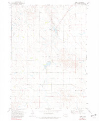
1971 Map of Hamill
USGS Topo · Published 1981About this map
The settlement of Hamill and the surrounding plains of Tripp County are depicted here within the boundaries of the Rosebud Indian Reservation during the early 1970s. The landscape is defined by the winding course of No Moccasin Creek, which flows past the town and a small Cem on the hills to the north. Evidence of water management and local infrastructure is visible at the Spillway Elev 1800, while the presence of the Center Moss Sch south of the main town site highlights the community's rural educational network. This survey reflects a period of stability in South Dakota's interior, showing established section lines and small-scale landmarks that anchor this agrarian landscape.
Find a feature on this map
7 named features on this map. Tap any name to fly to it.
Don’t see what you’re looking for? This feature index may not catch every label — zoom into the map to look around manually.
Map Details
Editions of this 1971 Hamill Map
2 editions found
Other maps of this area

1951 · Ideal NE
USGS Topo · 1:24,000

1952 · Hamill NW
USGS Topo · 1:24,000

1952 · Hamill NE
USGS Topo · 1:24,000

1955 · Mitchell
USGS Topo · 1:250,000

1959 · Mitchell
USGS Topo · 1:250,000

1971 · Hamill SE
USGS Topo · 1:24,000

1971 · Rattlesnake Butte East
USGS Topo · 1:24,000

1971 · Hamill
USGS Topo · 1:24,000

1971 · Rattlesnake Butte West
USGS Topo · 1:24,000

1982 · King Dam
USGS Topo · 1:25,000