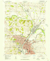
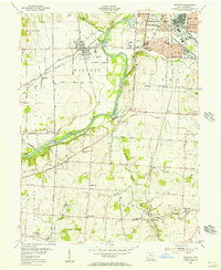
1955 Map of Hamilton
USGS Topo · Published 1956About this map
The industrial and residential core of Hamilton is defined by the winding course of the Miami River, which separates the city’s grid from the varied terrain of Saint Clair and Fairfield townships. In the mid-1950s, this area served as a major transportation hub, where the Pennsylvania Railroad, Baltimore and Ohio Railroad, and Erie Railroad converged to support the local economy. The map documents a dense network of civic life, featuring numerous educational institutions such as the Woodrow Wilson Jr High School and Harrison Sch, alongside historical landmarks like the Fort Hamilton Monument.
Find a feature on this map
83 named features on this map. Tap any name to fly to it.
Don’t see what you’re looking for? This feature index may not catch every label — zoom into the map to look around manually.
Map Details
Editions of this 1955 Hamilton Map
This is the sole edition of this map. No revisions or reprints were ever made.
Other maps of this area
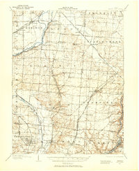
1904 · Mason
USGS Topo · 1:62,500
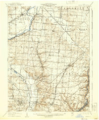
1906 · Mason
USGS Topo · 1:62,500
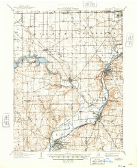
1908 · Miamisburg
USGS Topo · 1:62,500
1911 · Oxford
USGS Topo · 1:62,500
1915 · Hamilton
USGS Topo · 1:62,500
1917 · Hamilton
USGS Topo · 1:62,500

1953 · Cincinnati
USGS Topo · 1:250,000
1955 · Glendale
USGS Topo · 1:24,000
1955 · Trenton
USGS Topo · 1:24,000
1955 · Millville
USGS Topo · 1:24,000