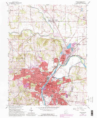
1965 Map of Hamilton
USGS Topo · Published 1988About this map
The Great Miami River bisects the landscape of this industrial and residential hub, anchoring a valley defined by significant mid-century expansion. The urban core of Hamilton is dense with civic and social history, featuring the Courthouse, City Hall, and the Fort Hamilton Monument. Development patterns are evident in the sprawling residential districts like City View Heights and New Miami, where the 1980s updates in purple highlight the growth of suburbs and industrial sites near the Baltimore and Ohio RR.
Find a feature on this map
67 named features on this map. Tap any name to fly to it.
Don’t see what you’re looking for? This feature index may not catch every label — zoom into the map to look around manually.
Map Details
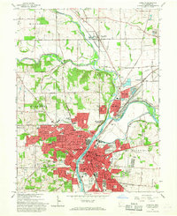
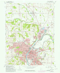
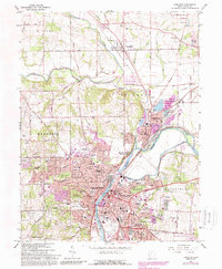
Editions of this 1965 Hamilton Map
4 editions found
Other maps of this area

1904 · Mason
USGS Topo · 1:62,500

1906 · Mason
USGS Topo · 1:62,500

1908 · Miamisburg
USGS Topo · 1:62,500

1911 · Oxford
USGS Topo · 1:62,500

1915 · Hamilton
USGS Topo · 1:62,500

1917 · Hamilton
USGS Topo · 1:62,500

1953 · Cincinnati
USGS Topo · 1:250,000

1955 · Hamilton
USGS Topo · 1:24,000
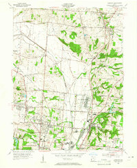
1955 · Glendale
USGS Topo · 1:24,000
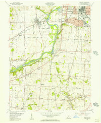
1955 · Trenton
USGS Topo · 1:24,000