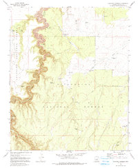
1970 Map of Hamilton Crossing
USGS Topo · Published 1991About this map
Hamilton Crossing marks a central point of interest on this high-plateau landscape where the Coconino National Forest and Sitgreaves National Forest meet. The 1970 field check reveals a network of water management features essential for ranching and forest operations, including livestock watering sites like the O'Haco Tank, Burro Weed Tank, and Erramuzpe Trick Tank.
Find a feature on this map
30 named features on this map. Tap any name to fly to it.
Don’t see what you’re looking for? This feature index may not catch every label — zoom into the map to look around manually.
Map Details
Editions of this 1970 Hamilton Crossing Map
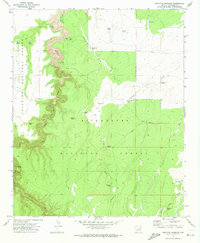
2 editions found
Other maps of this area

1886 · Holbrook
USGS Topo · 1:250,000

1887 · Verde
USGS Topo · 1:250,000

1892 · Verde
USGS Topo · 1:250,000

1893 · Holbrook
USGS Topo · 1:250,000

1954 · Holbrook
USGS Topo · 1:250,000

1955 · Sunset Knoll 2 SW
USGS Topo · 1:24,000

1955 · Sunset Knoll 2 SE
USGS Topo · 1:24,000

1955 · Sunset Pass
USGS Topo · 1:62,500

1957 · Holbrook
USGS Topo · 1:250,000

1958 · Holbrook
USGS Topo · 1:250,000