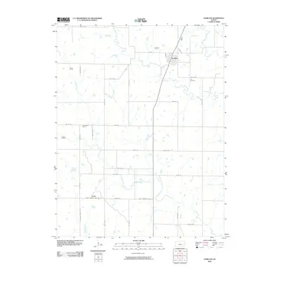
2009 Map of Hamilton
USGS Topo · Published 2009About this map
Hamilton serves as the primary hub for this portion of Greenwood County, oriented along a grid at the junction of Township Rd and Main St. The surrounding landscape of Chelsea Township reflects a rural economy shaped by both agriculture and mineral extraction, with the Gaffney Oil Field and Wiggins Oil Field marking the northwestern and western reaches of the quadrangle. Significant watercourses including Slate Creek and Homer Creek wind through the township, providing the natural drainage for the agricultural plots defined by an extensive system of rural roads.
Find a feature on this map
39 named features on this map. Tap any name to fly to it.
Don’t see what you’re looking for? This feature index may not catch every label — zoom into the map to look around manually.
Map Details
Editions of this 2009 Hamilton Map
This is the sole edition of this map. No revisions or reprints were ever made.
Other maps of this area

1885 · Eureka
USGS Topo · 1:125,000

1888 · Emporia
USGS Topo · 1:125,000

1888 · Eureka
USGS Topo · 1:125,000

1894 · Emporia
USGS Topo · 1:125,000

1894 · Eureka
USGS Topo · 1:125,000

1955 · Wichita
USGS Topo · 1:250,000

1955 · Hutchinson
USGS Topo · 1:250,000

1958 · Wichita
USGS Topo · 1:250,000

1959 · Hutchinson
USGS Topo · 1:250,000

1967 · Madison SW
USGS Topo · 1:24,000