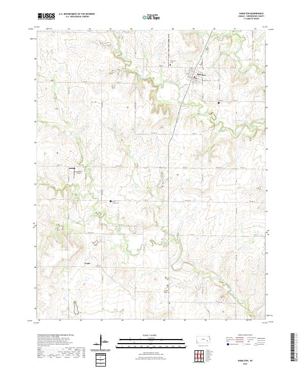
2022 Map of Hamilton
USGS Topo · Published 2022About this map
Hamilton serves as the primary hub of this eastern Kansas landscape, with its residential grid organized around Main St and Greenwood St. The surrounding terrain is defined by the winding paths of Slate Creek and Homer Creek, which carve through the open ranch land and agricultural fields of Chelsea Township. Small traces of the area's pioneer history are preserved in several rural burial grounds, including Janesville Cem, Ott Cem, and Homer Creek Cem, each serving as a landmark for genealogical research. Aviation and ranching intersect at the King Ranch Airport, while the settlement of Utopia sits further south along the township lines. The map reveals a highly structured township and range system, where a network of section roads like Co Rd 4 and 270th St provides access to the remote draws and creek bottoms.
Find a feature on this map
59 named features on this map. Tap any name to fly to it.
Don’t see what you’re looking for? This feature index may not catch every label — zoom into the map to look around manually.
Map Details
Editions of this 2022 Hamilton Map
This is the sole edition of this map. No revisions or reprints were ever made.
Other maps of this area

1885 · Eureka
USGS Topo · 1:125,000

1888 · Emporia
USGS Topo · 1:125,000

1888 · Eureka
USGS Topo · 1:125,000

1894 · Emporia
USGS Topo · 1:125,000

1894 · Eureka
USGS Topo · 1:125,000

1955 · Wichita
USGS Topo · 1:250,000

1955 · Hutchinson
USGS Topo · 1:250,000

1958 · Wichita
USGS Topo · 1:250,000

1959 · Hutchinson
USGS Topo · 1:250,000

1967 · Madison SW
USGS Topo · 1:24,000