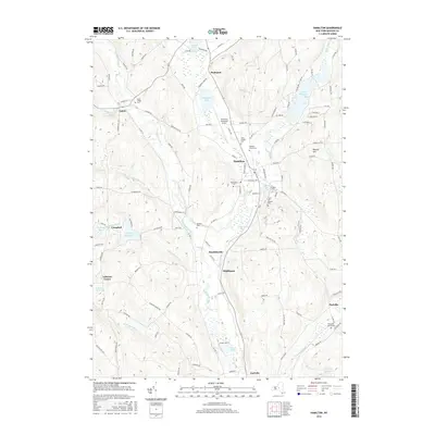
2016 Map of Hamilton
USGS Topo · Published 2016About this map
The village of Hamilton serves as the central hub of this Madison County landscape, dominated by the campus of Colgate Univ and its surrounding academic and residential geography. The Chenango River and its various tributaries, including Payne Brook and Kingsley Brook, carve through the valley, linking several smaller outlying settlements such as Eaton, Randallsville, and Middleport. This drainage system is punctuated by significant water bodies like Lake Moraine and Woodman Pond, which historically influenced the development and leisure patterns of the region.
Find a feature on this map
117 named features on this map. Tap any name to fly to it.
Don’t see what you’re looking for? This feature index may not catch every label — zoom into the map to look around manually.
Map Details
Editions of this 2016 Hamilton Map
This is the sole edition of this map. No revisions or reprints were ever made.
Other maps of this area

1902 · Morrisville
USGS Topo · 1:62,500

1903 · Norwich
USGS Topo · 1:62,500

1907 · Sangerfield
USGS Topo · 1:62,500

1910 · New Berlin
USGS Topo · 1:62,500

1912 · New Berlin
USGS Topo · 1:62,500

1943 · Otselic
USGS Topo · 1:24,000

1943 · West Eaton
USGS Topo · 1:24,000

1943 · Morrisville
USGS Topo · 1:24,000

1943 · Hubbardsville
USGS Topo · 1:24,000

1943 · Sangerfield
USGS Topo · 1:62,500