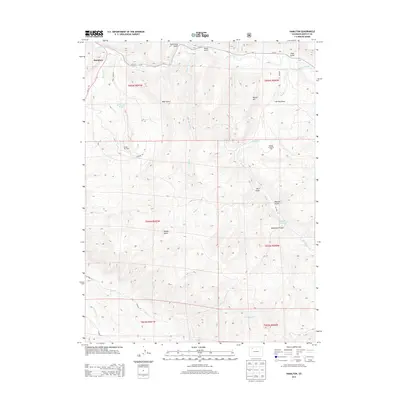
2013 Map of Hamilton
USGS Topo · Published 2013About this map
Hamilton anchors the northwestern corner of this landscape, situated at the junction where Morapos Cr meets the winding Williams Fork. The area is characterized by a complex network of drainages and topographical landmarks, including Harper Hill, Herring Draw, and a series of deep gulches such as Stock Pass Gulch and Moody Gulch. The presence of the Moffat Oil Field and the Waddle Creek Oil Field indicates a land defined by energy extraction, with access facilitated by rural routes like Co-317.
Find a feature on this map
32 named features on this map. Tap any name to fly to it.
Don’t see what you’re looking for? This feature index may not catch every label — zoom into the map to look around manually.
Map Details
Editions of this 2013 Hamilton Map
This is the sole edition of this map. No revisions or reprints were ever made.
Other maps of this area

1910 · Danforth Hills
USGS Topo · 1:125,000

1915 · Monument Butte
USGS Topo · 1:62,500

1916 · Daton Peak
USGS Topo · 1:62,500

1920 · Daton Peak
USGS Topo · 1:62,500

1954 · Craig
USGS Topo · 1:250,000

1957 · Craig
USGS Topo · 1:250,000

1958 · Craig
USGS Topo · 1:250,000

1960 · Craig
USGS Topo · 1:250,000

1962 · Craig
USGS Topo · 1:250,000

1964 · Craig
USGS Topo · 1:250,000