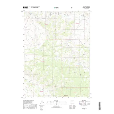
2019 Map of Hamilton
USGS Topo · Published 2019About this map
Hamilton serves as the primary settlement hub in this part of Moffat County, situated where the Williams Fork river meets Morapos Cr at the junction of Highway 317. The landscape is defined by a dense network of gulches and draws that drain into these larger watercourses, including Stock Pass Gulch and Deal Gulch. These natural corridors shaped the early movement and land divisions across the region.
Find a feature on this map
31 named features on this map. Tap any name to fly to it.
Don’t see what you’re looking for? This feature index may not catch every label — zoom into the map to look around manually.
Map Details
Editions of this 2019 Hamilton Map
This is the sole edition of this map. No revisions or reprints were ever made.
Other maps of this area

1910 · Danforth Hills
USGS Topo · 1:125,000

1915 · Monument Butte
USGS Topo · 1:62,500

1916 · Daton Peak
USGS Topo · 1:62,500

1920 · Daton Peak
USGS Topo · 1:62,500

1954 · Craig
USGS Topo · 1:250,000

1957 · Craig
USGS Topo · 1:250,000

1958 · Craig
USGS Topo · 1:250,000

1960 · Craig
USGS Topo · 1:250,000

1962 · Craig
USGS Topo · 1:250,000

1964 · Craig
USGS Topo · 1:250,000