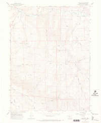
1966 Map of Hamilton
USGS Topo · Published 1970About this map
Hamilton serves as the primary settlement on this Moffat County landscape, situated near the confluence of Williams Fork and Morapos Creek. The map reflects an era of active resource extraction, evidenced by the expansive Moffat Oil Field and the Waddle Creek Oil Field, alongside several noted mines and a quarry. Local education and community landmarks are represented by the Morapos Sch, while the terrain is defined by prominent features like Harper Hill and numerous drainages including Moody Gulch and Ratcliff Gulch. A network of secondary transportation routes, including the Badger Trail and various Jeep Trails, indicates a working landscape of ranching and energy development.
Find a feature on this map
27 named features on this map. Tap any name to fly to it.
Don’t see what you’re looking for? This feature index may not catch every label — zoom into the map to look around manually.
Map Details
Editions of this 1966 Hamilton Map
This is the sole edition of this map. No revisions or reprints were ever made.
Other maps of this area

1910 · Danforth Hills
USGS Topo · 1:125,000

1915 · Monument Butte
USGS Topo · 1:62,500

1916 · Daton Peak
USGS Topo · 1:62,500

1920 · Daton Peak
USGS Topo · 1:62,500

1954 · Craig
USGS Topo · 1:250,000

1957 · Craig
USGS Topo · 1:250,000

1958 · Craig
USGS Topo · 1:250,000

1960 · Craig
USGS Topo · 1:250,000

1962 · Craig
USGS Topo · 1:250,000

1964 · Craig
USGS Topo · 1:250,000