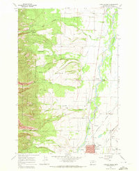
1967 Map of Hamilton North
USGS Topo · Published 1972About this map
The Bitterroot River valley dominates this 1967 survey, revealing a landscape defined by irrigated agriculture and the transitioning timber economy of Western Montana. The northern edge of Hamilton is captured in detail, showing the County Fairground, the Hamilton Airport, and a Radio Tower (KLYQ) south of the river bend. The western slopes of the Bitterroot National Forest rise sharply from the valley floor, drained by several named waterways including Sheafman Creek, Mill Creek, and Blodgett Creek.
Find a feature on this map
48 named features on this map. Tap any name to fly to it.
Don’t see what you’re looking for? This feature index may not catch every label — zoom into the map to look around manually.
Map Details
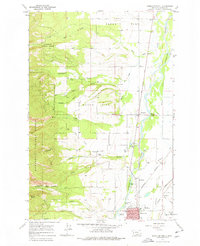
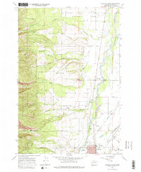
Editions of this 1967 Hamilton North Map
Other maps of this area

1901 · Hamilton
USGS Topo · 1:125,000

1956 · Hamilton
USGS Topo · 1:250,000

1959 · Hamilton
USGS Topo · 1:250,000

1960 · Hamilton
USGS Topo · 1:250,000

1964 · Hamilton
USGS Topo · 1:250,000

1964 · Hamilton South
USGS Topo · 1:24,000

1964 · Ward Mountain
USGS Topo · 1:24,000
1964 · Mountain House
USGS Topo · 1:24,000
1966 · Printz Ridge
USGS Topo · 1:24,000
1966 · Gash Point
USGS Topo · 1:24,000