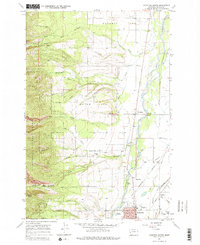
1967 Map of Hamilton North
USGS Topo · Published 1978About this map
The Bitterroot River serves as the central artery for this late-1960s survey of the valley north of Hamilton. The landscape transitions from the agricultural expanse of Poverty Flat and the intricate irrigation networks of the Republican Ditch and Corvallis Canal to the steep eastern front of the Bitterroot National Forest. Along the river’s edge, historical transport routes like the Lewis and Clark Trail and the Burlington Northern railroad corridor define the settlement patterns of Woodside and Riverside.
Find a feature on this map
43 named features on this map. Tap any name to fly to it.
Don’t see what you’re looking for? This feature index may not catch every label — zoom into the map to look around manually.
Map Details
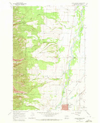
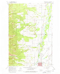
Editions of this 1967 Hamilton North Map
Other maps of this area

1901 · Hamilton
USGS Topo · 1:125,000

1956 · Hamilton
USGS Topo · 1:250,000

1959 · Hamilton
USGS Topo · 1:250,000

1960 · Hamilton
USGS Topo · 1:250,000

1964 · Hamilton
USGS Topo · 1:250,000

1964 · Hamilton South
USGS Topo · 1:24,000

1964 · Ward Mountain
USGS Topo · 1:24,000
1964 · Mountain House
USGS Topo · 1:24,000
1966 · Printz Ridge
USGS Topo · 1:24,000
1966 · Gash Point
USGS Topo · 1:24,000