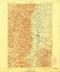
1901 Map of Hamilton
USGS Topo · Published 1908About this map
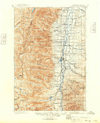
The Bitterroot Valley serves as a stark corridor of settlement between the towering peaks of the Bitterroot Mountains and the timbered slopes of the Bitterroot National Forest. Following the 1897-98 survey, this landscape is defined by the Northern Pacific Railway connecting the central hub of Hamilton with outlying communities like Victor, Corvallis, and Darby. The agricultural development along the valley floor is contrasted by industrial activity in the foothills, specifically the Curlew Mines and the Bluebird Mine near Poverty Flat. To the west, the map documents a high-altitude wilderness along the Idaho Montana Boundary Line, where landmarks such as El Capitan and Canyon Peak overlook a network of glacial waters including Como Lake and Big Creek Lakes. This geography illustrates the early transition of Western Montana from a mining and timber frontier into a structured ranching and rail-centered economy.
Find a feature on this map
86 named features on this map. Tap any name to fly to it.
Don’t see what you’re looking for? This feature index may not catch every label — zoom into the map to look around manually.
Map Details
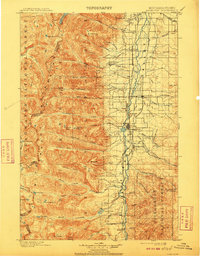
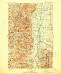
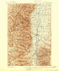
Editions of this 1901 Hamilton Map
6 editions found
Other maps of this area

1901 · Hamilton
USGS Topo · 1:125,000

1903 · Bonner
USGS Topo · 1:125,000

1909 · Sapphire
USGS Topo · 1:125,000

1911 · Lolo
USGS Topo · 1:250,000

1912 · Missoula
USGS Topo · 1:125,000

1913 · Lolo
USGS Topo · 1:250,000

1947 · Butte
USGS Topo · 1:250,000

1955 · Dillon
USGS Topo · 1:250,000

1956 · Elk City
USGS Topo · 1:250,000

1956 · Hamilton
USGS Topo · 1:250,000