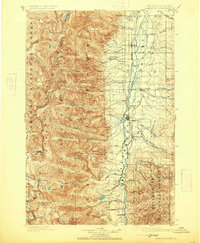
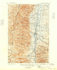
1901 Map of Hamilton
USGS Topo · Published 1925About this map
The Bitterroot Valley serves as a thriving agricultural and industrial corridor on this 1890s-era survey, anchored by the town of Hamilton and the Northern Pacific Railroad. Along the valley floor, a network of irrigation ditches like the Hedge Ditch and Republican Ditch supports settlements including Victor, Corvallis, and Grantsdale. To the west, the landscape rises sharply into the Bitterroot Mountains, where the Idaho Montana Boundary Line follows the high crests above alpine waters such as Canyon Lake and Como Lake.
Find a feature on this map
69 named features on this map. Tap any name to fly to it.
Don’t see what you’re looking for? This feature index may not catch every label — zoom into the map to look around manually.
Map Details
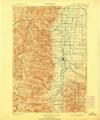
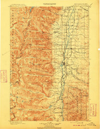
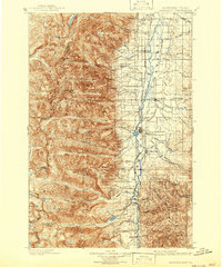
Editions of this 1901 Hamilton Map
6 editions found
Other maps of this area

1901 · Hamilton
USGS Topo · 1:125,000

1903 · Bonner
USGS Topo · 1:125,000

1909 · Sapphire
USGS Topo · 1:125,000

1911 · Lolo
USGS Topo · 1:250,000

1912 · Missoula
USGS Topo · 1:125,000

1913 · Lolo
USGS Topo · 1:250,000

1947 · Butte
USGS Topo · 1:250,000

1955 · Dillon
USGS Topo · 1:250,000

1956 · Elk City
USGS Topo · 1:250,000

1956 · Hamilton
USGS Topo · 1:250,000