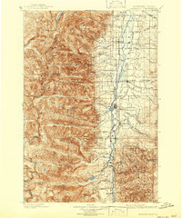
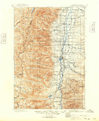
1901 Map of Hamilton
USGS Topo · Published 1942About this map
The Bitterroot River valley serves as the central artery for this late nineteenth-century landscape, where early irrigation networks and silver-lead mining defined the local economy. A complex system of water engineering is evident through labels like Republican Ditch, Hedge Ditch, and Cow Ditch, which redirected mountain runoff to support agriculture around Corvallis and Hamilton. To the west, the steep Bitterroot Mountains rise sharply, dotted with early industrial operations such as the Curlew Mines, Bluebird Mine, and Pleasantview Mine near Dutch Hill. The Bitterroot Branch N. P. R. R. follows the river, connecting established valley settlements including Victor, Woodside, and Grantsdale. This survey, conducted by E.C. Barnard and A.B. Searle, documents the region's transition from a mining frontier to an organized agricultural hub just before the turn of the century.
Find a feature on this map
72 named features on this map. Tap any name to fly to it.
Don’t see what you’re looking for? This feature index may not catch every label — zoom into the map to look around manually.
Map Details
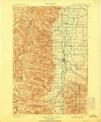
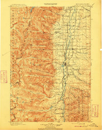
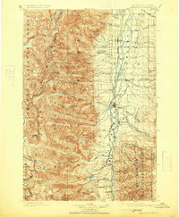
Editions of this 1901 Hamilton Map
6 editions found
Other maps of this area

1901 · Hamilton
USGS Topo · 1:125,000

1903 · Bonner
USGS Topo · 1:125,000

1909 · Sapphire
USGS Topo · 1:125,000

1911 · Lolo
USGS Topo · 1:250,000

1912 · Missoula
USGS Topo · 1:125,000

1913 · Lolo
USGS Topo · 1:250,000

1947 · Butte
USGS Topo · 1:250,000

1955 · Dillon
USGS Topo · 1:250,000

1956 · Elk City
USGS Topo · 1:250,000

1956 · Hamilton
USGS Topo · 1:250,000