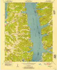
1950 Map of Hamlin
USGS Topo · Published 1954About this map
Kentucky Lake dominates this landscape along the border of Calloway County and Stewart County, following the creation of the reservoir along the Tennessee River. The shoreline is deeply indented by numerous flooded creek valleys, including Byrd Creek and Panther Creek, which create a complex network of peninsulas. Evidence of the region’s Civil War history is anchored by the sites of Fort Henry on the eastern bank and Fort Heiman to the west.
Find a feature on this map
58 named features on this map. Tap any name to fly to it.
Don’t see what you’re looking for? This feature index may not catch every label — zoom into the map to look around manually.
Map Details
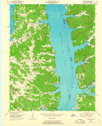
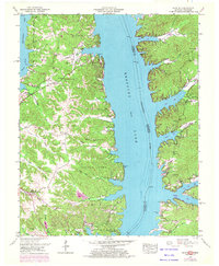
Editions of this 1950 Hamlin Map
3 editions found
Other maps of this area

1936 · Buchanan
USGS Topo · 1:24,000

1936 · Tharpe
USGS Topo · 1:24,000

1936 · New Concord
USGS Topo · 1:24,000

1936 · Hamlin
USGS Topo · 1:24,000

1936 · Centerville Landing
USGS Topo · 1:24,000

1936 · Rushing
USGS Topo · 1:24,000

1936 · Standing Rock
USGS Topo · 1:24,000

1936 · Hico
USGS Topo · 1:24,000

1942 · New Concord
USGS Topo · 1:24,000

1942 · Hico
USGS Topo · 1:24,000