
1899 Map of Hamlin
USGS Topo · Published 1899About this map
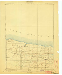
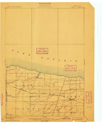
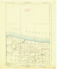
Lake Ontario defines the northern horizon of this late nineteenth-century survey, its shoreline broken only by the distinctive projection of Devils Nose. The landscape inland is a transition from the lakeside orchards and marshes to a structured agricultural interior, organized by the prominent East-West corridor of the Ridge Road and the Rome Watertown and Ogdensburg Line. This rail link was central to the local economy, connecting several growing hamlets such as Hamlin and Morton. Smaller rural hubs like Irish Settlement and Bartlett Corners suggest a pattern of localized community life before the full onset of motor-age consolidation. The drainage of Sandy Creek and Salmon Creek meanders toward the lake, providing the natural irrigation that supported the region’s development as a productive fruit-growing belt along the New York shoreline.
Find a feature on this map
26 named features on this map. Tap any name to fly to it.
Don’t see what you’re looking for? This feature index may not catch every label — zoom into the map to look around manually.
Map Details
Editions of this 1899 Hamlin Map
4 editions found
Other maps of this area

1895 · Rochester
USGS Topo · 1:62,500

1895 · Ontario Beach
USGS Topo · 1:62,500

1897 · Albion
USGS Topo · 1:62,500

1897 · Oak Orchard
USGS Topo · 1:62,500

1898 · Rochester
USGS Topo · 1:62,500

1899 · Ontario Beach
USGS Topo · 1:62,500

1899 · Brockport
USGS Topo · 1:62,500

1912 · Rochester
USGS Topo · 1:62,500

1912 · Ontario Beach
USGS Topo · 1:62,500

1920 · Rochester
USGS Topo · 1:62,500