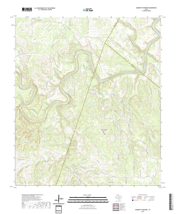
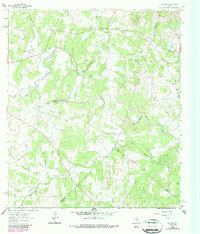
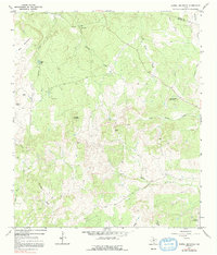
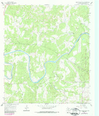
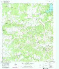
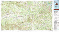
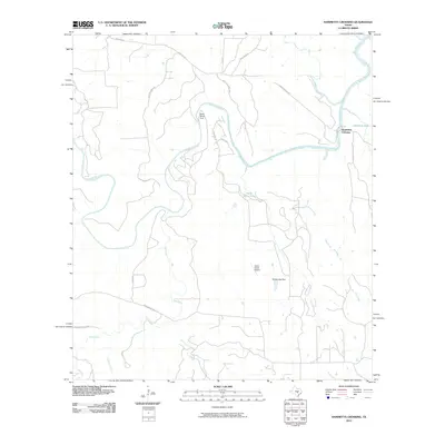
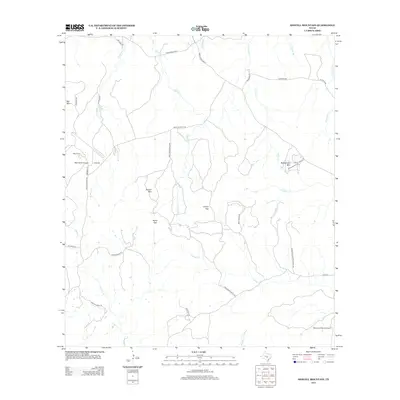
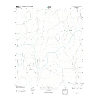
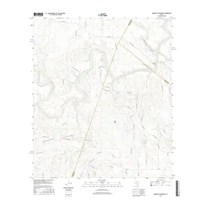
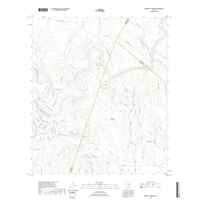
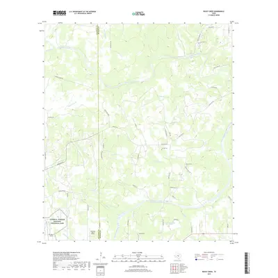
2022 Map of Hammetts Crossing
USGS Topo · Published 2022About this map
The Pedernales River carves a deep, winding path through this portion of the Texas Hill Country, where the boundaries of Blanco, Travis, and Hays counties converge. The landscape is defined by its dramatic hydrology, featuring notable landmarks such as the sheltered Hamilton Pool and the storied Dead Mans Hole. Small-scale aviation and rural ranching infrastructure are evident at the Keyes Ranch Airport, while groundwater sources like West Cave Spring highlight the region's karstic nature.
Find a feature on this map
81 named features on this map. Tap any name to fly to it.
Don’t see what you’re looking for? This feature index may not catch every label — zoom into the map to look around manually.
Map Details
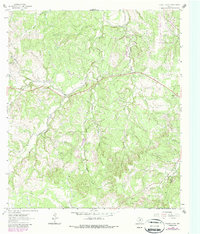
Editions of this 2022 Hammetts Crossing Map
This is the sole edition of this map. No revisions or reprints were ever made.
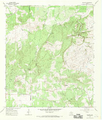
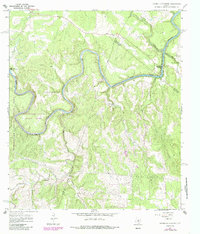
Historical Maps of Travis County Through Time
61 maps found
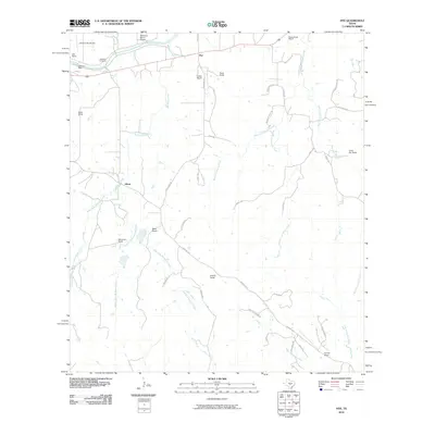
1961 Hye
Blanco County, TX
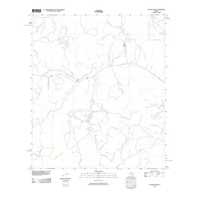
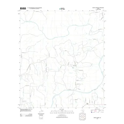
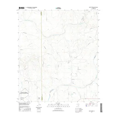
1961 Rocky Creek
Blanco County, TX
1963 Monument Hill
Blanco County, TX
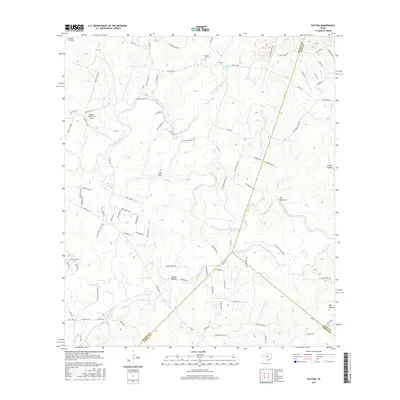
1963 Payton
Blanco County, TX
1963 Yeager Creek
Blanco County, TX
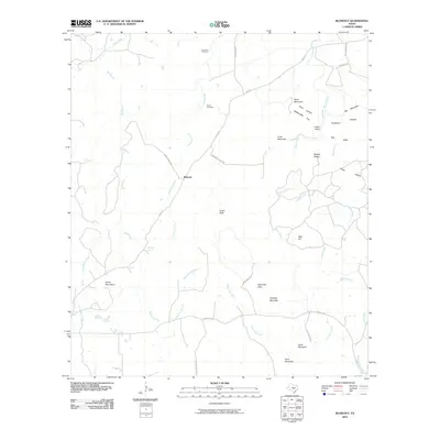
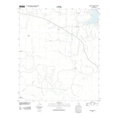
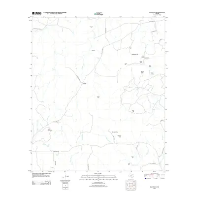
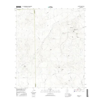
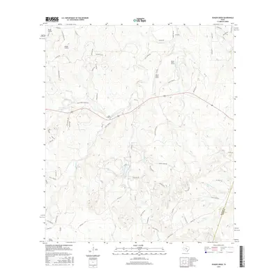
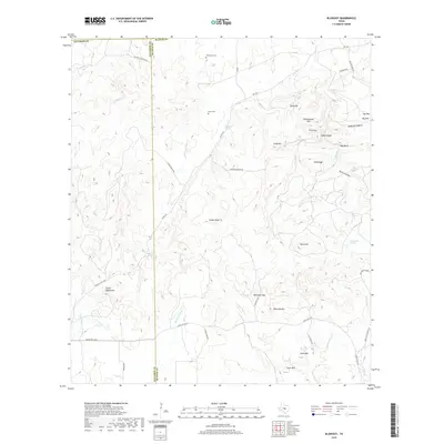
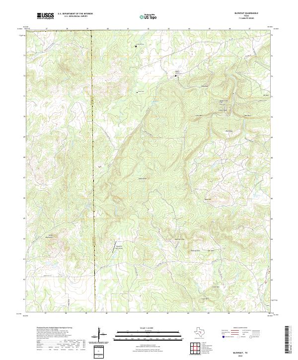
1967 Blowout
Blanco County, TX
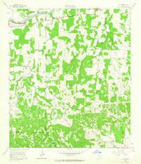
1967 Hammetts Crossing
Blanco County, TX
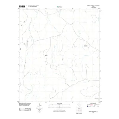
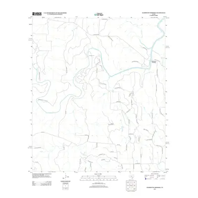
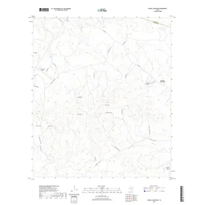
1967 Howell Mountain
Blanco County, TX
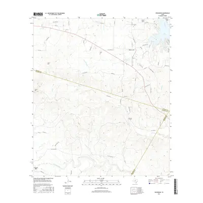
1967 Pedernales Falls
Blanco County, TX
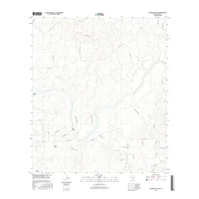
1967 Spicewood
Blanco County, TX
1985 Pedernales River
Blanco County, TX
2010 Blowout
Blanco County, TX
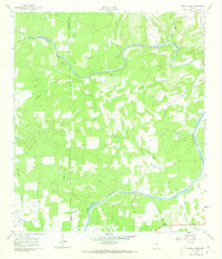
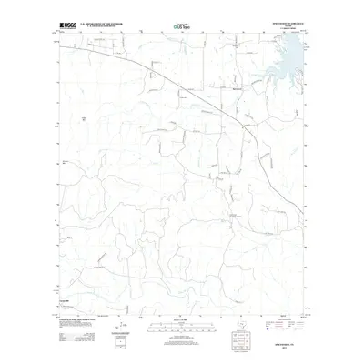
2010 Hammetts Crossing
Blanco County, TX
2010 Howell Mountain
Blanco County, TX
2010 Hye
Blanco County, TX
2010 Monument Hill
Blanco County, TX
2010 Payton
Blanco County, TX
2010 Pedernales Falls
Blanco County, TX
2010 Rocky Creek
Blanco County, TX
2010 Spicewood
Blanco County, TX
2010 Yeager Creek
Blanco County, TX
2012 Blowout
Blanco County, TX
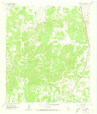
2012 Hammetts Crossing
Blanco County, TX
2012 Howell Mountain
Blanco County, TX
2012 Hye
Blanco County, TX
2012 Monument Hill
Blanco County, TX
2012 Payton
Blanco County, TX
2012 Pedernales Falls
Blanco County, TX
2012 Rocky Creek
Blanco County, TX
2012 Spicewood
Blanco County, TX

2012 Yeager Creek
Blanco County, TX
2016 Blowout
Blanco County, TX
2016 Hammetts Crossing
Blanco County, TX
2016 Howell Mountain
Blanco County, TX
2016 Hye
Blanco County, TX
2016 Monument Hill
Blanco County, TX
2016 Payton
Blanco County, TX
2016 Pedernales Falls
Blanco County, TX
2016 Rocky Creek
Blanco County, TX
2016 Spicewood
Blanco County, TX
2016 Yeager Creek
Blanco County, TX
2019 Blowout
Blanco County, TX
2019 Hammetts Crossing
Blanco County, TX
2019 Howell Mountain
Blanco County, TX
2019 Hye
Blanco County, TX
2019 Monument Hill
Blanco County, TX
2019 Payton
Blanco County, TX
2019 Pedernales Falls
Blanco County, TX
2019 Rocky Creek
Blanco County, TX
2019 Spicewood
Blanco County, TX
2019 Yeager Creek
Blanco County, TX
2022 Blowout
Blanco County, TX
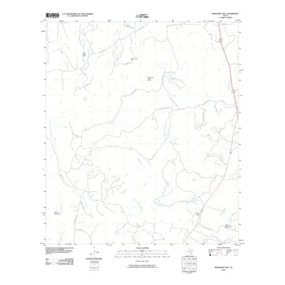
2022 Hammetts Crossing
Blanco County, TX
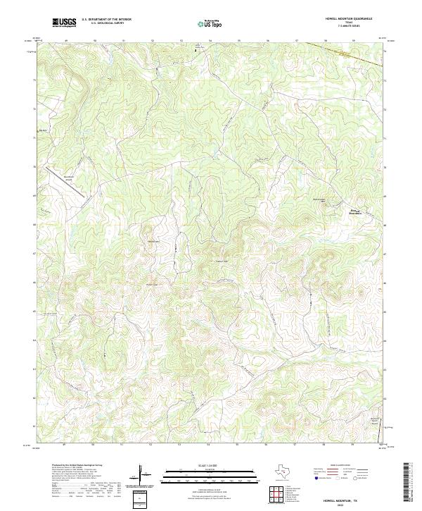
2022 Howell Mountain
Blanco County, TX
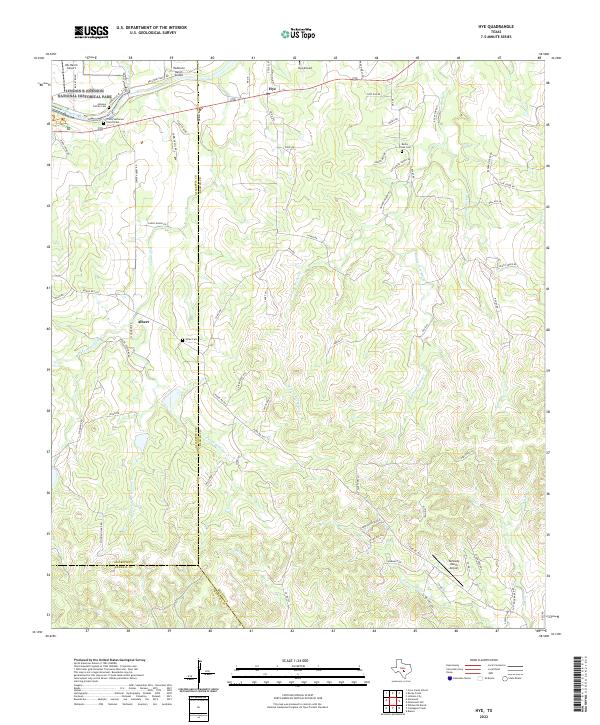
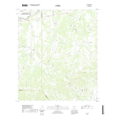
2022 Hye
Blanco County, TX
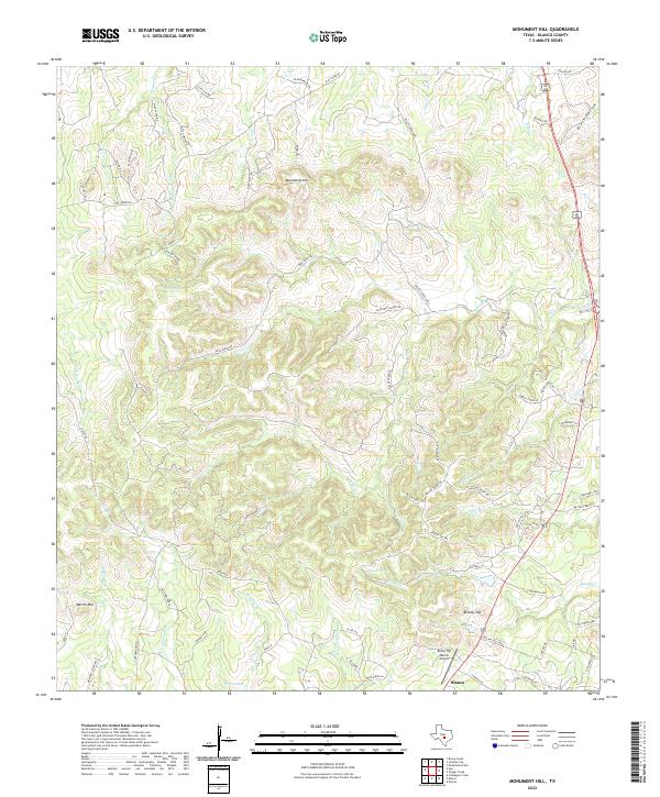
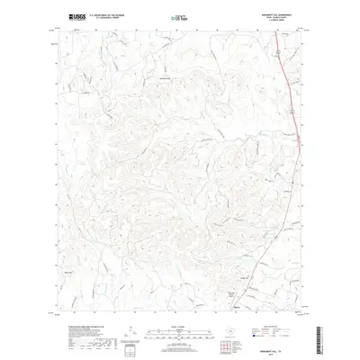
2022 Monument Hill
Blanco County, TX
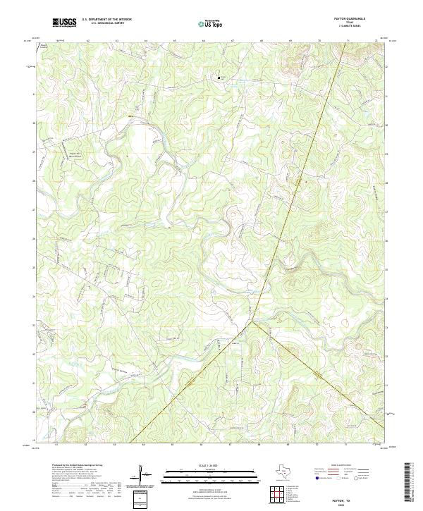
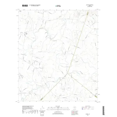
2022 Payton
Blanco County, TX
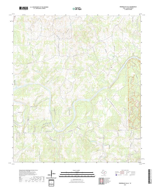
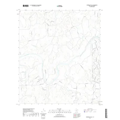
2022 Pedernales Falls
Blanco County, TX
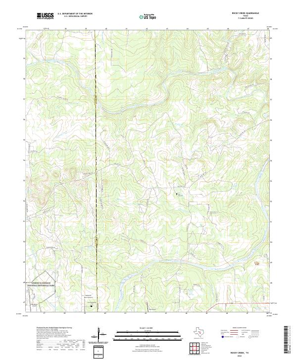
2022 Rocky Creek
Blanco County, TX
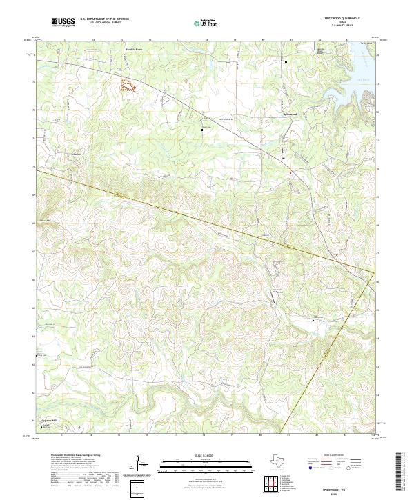
2022 Spicewood
Blanco County, TX
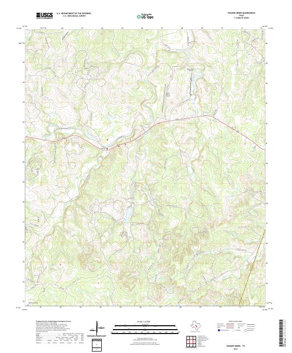
2022 Yeager Creek
Blanco County, TX