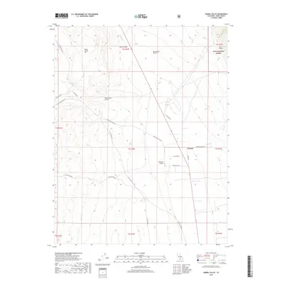
2018 Map of Hammil Valley
USGS Topo · Published 2018About this map
Hammil Valley occupies a wide, high-desert trough in Mono County, where early 21st-century ranching and transit corridors trace the foot of the White Mountains. The settlement of Hammil serves as a small anchor along Hammil Rd, surrounded by a network of ranch roads and canyon access routes like Dawson Ranch Rd and Cinnamon Ranch Rd. The landscape is defined by its dramatic drainage systems, including Queen Dicks Canyon and Yellowjacket Canyon, which funnel seasonal runoff toward the valley floor.
Find a feature on this map
32 named features on this map. Tap any name to fly to it.
Don’t see what you’re looking for? This feature index may not catch every label — zoom into the map to look around manually.
Map Details
Editions of this 2018 Hammil Valley Map
This is the sole edition of this map. No revisions or reprints were ever made.
Other maps of this area

1914 · Mt. Morrison
USGS Topo · 1:125,000

1917 · White Mountain
USGS Topo · 1:125,000

1947 · Mariposa
USGS Topo · 1:250,000

1948 · Mariposa
USGS Topo · 1:250,000

1953 · Casa Diablo Mtn
USGS Topo · 1:62,500

1957 · Mariposa
USGS Topo · 1:250,000

1962 · Benton
USGS Topo · 1:62,500

1962 · Glass Mountain
USGS Topo · 1:62,500

1962 · White Mtn. Peak
USGS Topo · 1:62,500

1963 · Mariposa
USGS Topo · 1:250,000