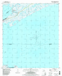
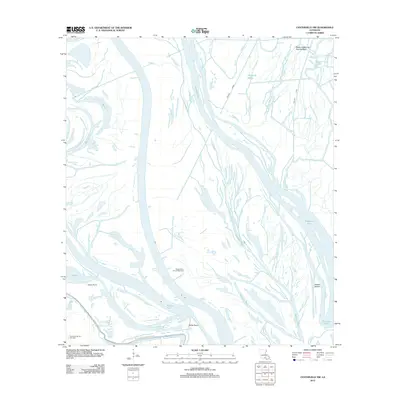
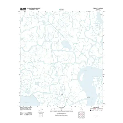
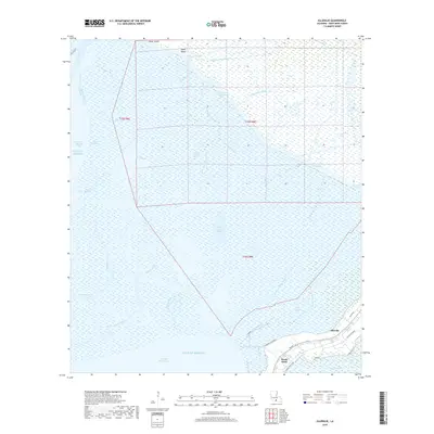
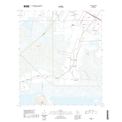
1949 Map of Hammock Lake
USGS Topo · Published 1957About this map
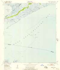
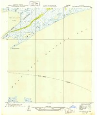
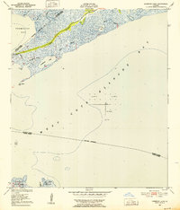
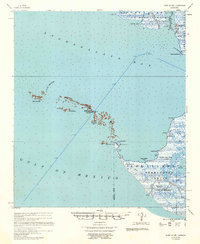
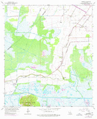
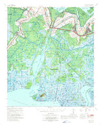
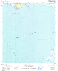
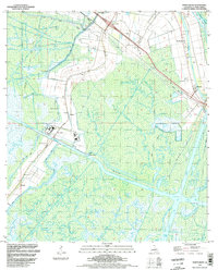
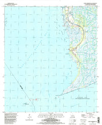
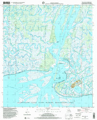
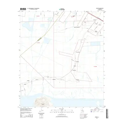
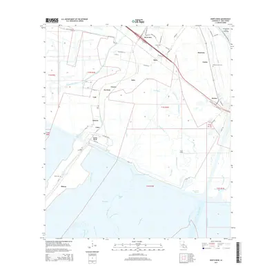
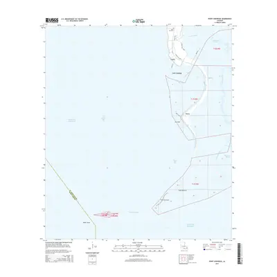
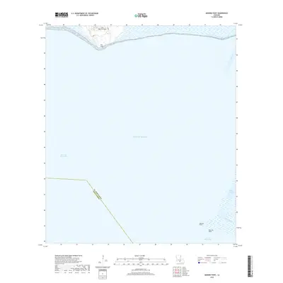
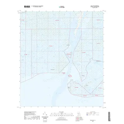
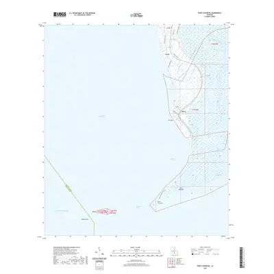
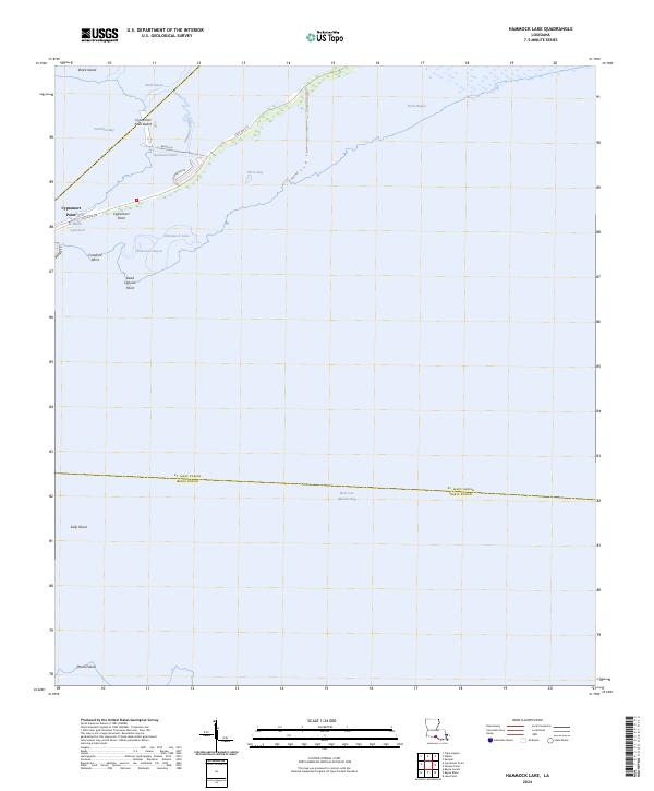
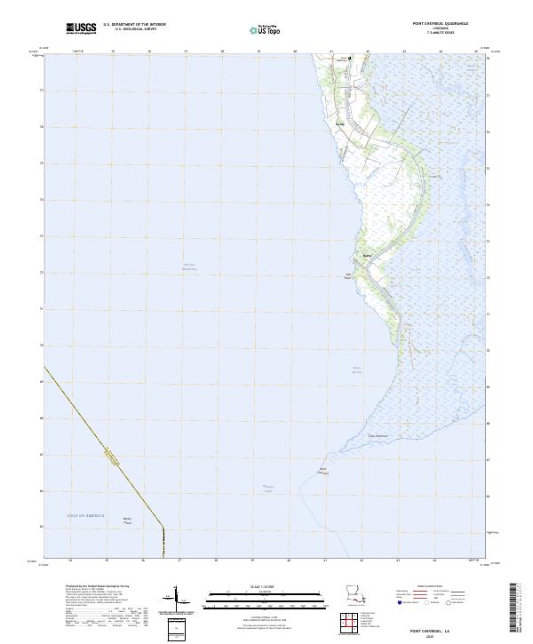
Oil wells clustered in the open waters of West Cote Blanche Bay signal the industrial reach of the mid-century Louisiana coast. This coastal landscape is defined by the intricate network of tidal waterways such as Cypremort Bayou and Shark Bayou which separate the mainland marsh from the expansive waters of Vermilion Bay. Along the southern margin, the Marsh Island State Game Refuge begins to emerge, highlighting the region's importance for wildlife conservation even as petroleum exploration expanded. The map details the fragile transition from land to sea at landmarks like Crawford Point and Dead Cypress Point, illustrating the shifting geography of the St. Mary Parish and Iberia Parish borderlands during a period of significant offshore development.
Find a feature on this map
18 named features on this map. Tap any name to fly to it.
Don’t see what you’re looking for? This feature index may not catch every label — zoom into the map to look around manually.
Map Details
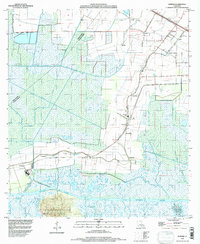
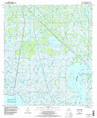
Editions of this 1949 Hammock Lake Map
3 editions found
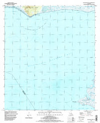
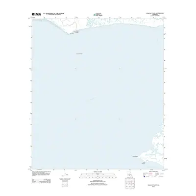
Historical Maps of Cypremort Point Through Time
77 maps found

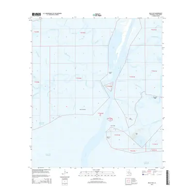
1935 Belle Isle
St. Mary Parish, LA

1937 Bayou Sale
St. Mary Parish, LA

1941 Belle Isle
St. Mary Parish, LA
1949 Hammock Lake
St. Mary Parish, LA

1954 Belle Isle
St. Mary Parish, LA

1957 Bayou Sale
St. Mary Parish, LA
1957 Point Au Fer
St. Mary Parish, LA
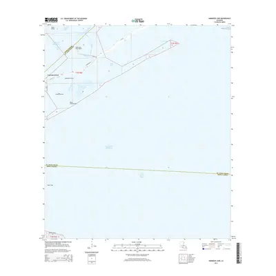
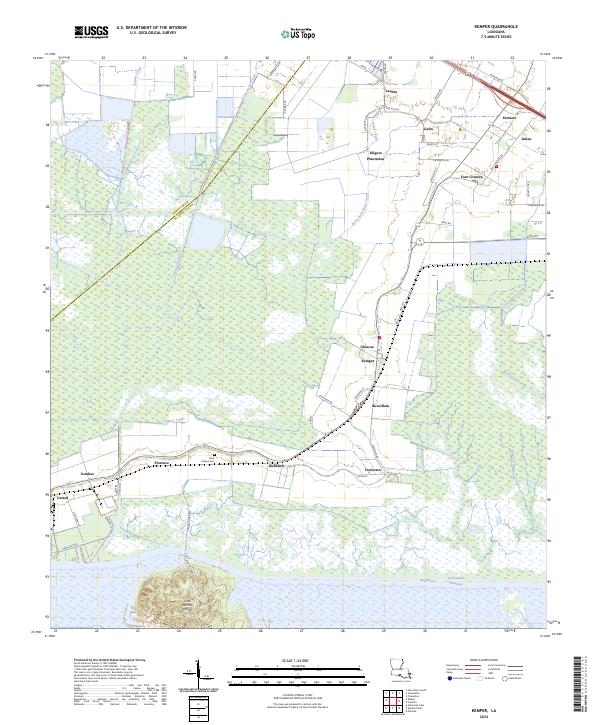
1963 Kemper
St. Mary Parish, LA
1966 Belle Isle
St. Mary Parish, LA
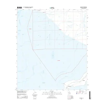
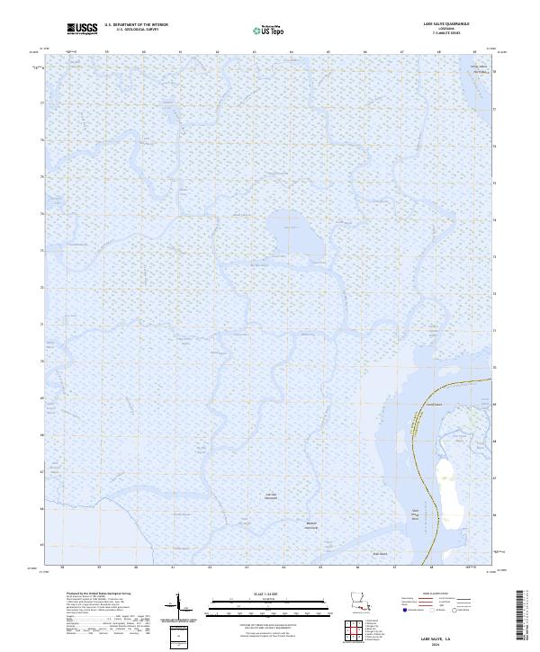
1966 Lake Salve
St. Mary Parish, LA
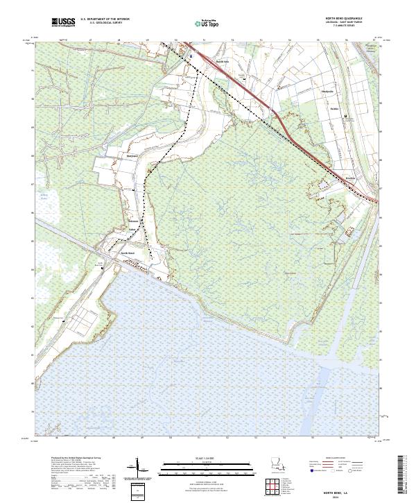
1966 North Bend
St. Mary Parish, LA
1967 Belle Isle
St. Mary Parish, LA
1968 Hammock Lake
St. Mary Parish, LA
1970 Centerville NW
St. Mary Parish, LA
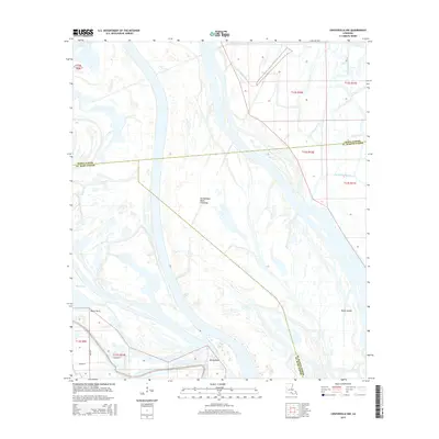
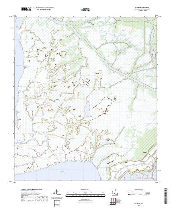
1970 Ellerslie
St. Mary Parish, LA
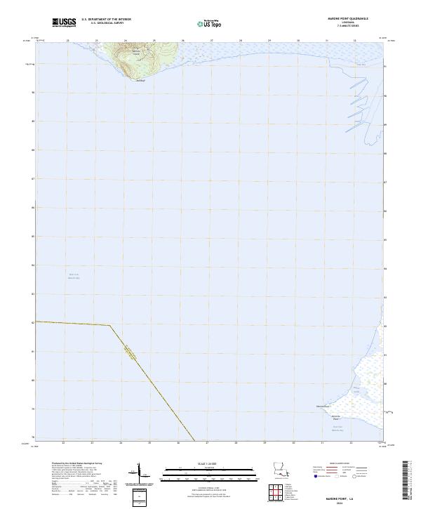
1970 Marone Point
St. Mary Parish, LA
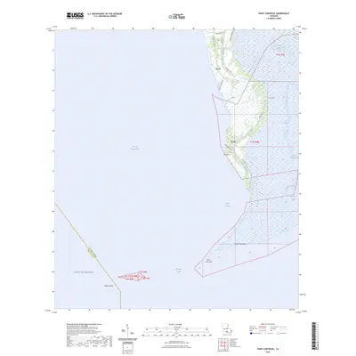
1970 Point Chevreuil
St. Mary Parish, LA
1994 Belle Isle
St. Mary Parish, LA
1994 Ellerslie
St. Mary Parish, LA
1994 Hammock Lake
St. Mary Parish, LA
1994 Kemper
St. Mary Parish, LA
1994 Lake Salve
St. Mary Parish, LA
1994 Marone Point
St. Mary Parish, LA
1994 North Bend
St. Mary Parish, LA
1994 Point Chevreuil
St. Mary Parish, LA
1998 Belle Isle
St. Mary Parish, LA
2012 Belle Isle
St. Mary Parish, LA
2012 Centerville NW
St. Mary Parish, LA
2012 Ellerslie
St. Mary Parish, LA
2012 Hammock Lake
St. Mary Parish, LA
2012 Kemper
St. Mary Parish, LA
2012 Lake Salve
St. Mary Parish, LA
2012 Marone Point
St. Mary Parish, LA
2012 North Bend
St. Mary Parish, LA
2012 Point Chevreuil
St. Mary Parish, LA
2015 Belle Isle
St. Mary Parish, LA
2015 Centerville NW
St. Mary Parish, LA
2015 Ellerslie
St. Mary Parish, LA
2015 Hammock Lake
St. Mary Parish, LA
2015 Kemper
St. Mary Parish, LA
2015 Lake Salve
St. Mary Parish, LA
2015 Marone Point
St. Mary Parish, LA
2015 North Bend
St. Mary Parish, LA
2015 Point Chevreuil
St. Mary Parish, LA
2015 South of Belle Isle
St. Mary Parish, LA
2018 Belle Isle
St. Mary Parish, LA
2018 Centerville NW
St. Mary Parish, LA
2018 Ellerslie
St. Mary Parish, LA
2018 Hammock Lake
St. Mary Parish, LA
2018 Kemper
St. Mary Parish, LA
2018 Lake Salve
St. Mary Parish, LA
2018 Marone Point
St. Mary Parish, LA
2018 North Bend
St. Mary Parish, LA
2018 Point Chevreuil
St. Mary Parish, LA
2018 South of Belle Isle
St. Mary Parish, LA
2020 Belle Isle
St. Mary Parish, LA
2020 Centerville NW
St. Mary Parish, LA
2020 Ellerslie
St. Mary Parish, LA
2020 Hammock Lake
St. Mary Parish, LA
2020 Kemper
St. Mary Parish, LA
2020 Lake Salve
St. Mary Parish, LA
2020 Marone Point
St. Mary Parish, LA
2020 North Bend
St. Mary Parish, LA
2020 Point Chevreuil
St. Mary Parish, LA
2020 South of Belle Isle
St. Mary Parish, LA
2024 Belle Isle
St. Mary Parish, LA
2024 Centerville NW
St. Mary Parish, LA
2024 Ellerslie
St. Mary Parish, LA
2024 Hammock Lake
St. Mary Parish, LA
2024 Kemper
St. Mary Parish, LA
2024 Lake Salve
St. Mary Parish, LA
2024 Marone Point
St. Mary Parish, LA
2024 North Bend
St. Mary Parish, LA
2024 Point Chevreuil
St. Mary Parish, LA
2024 South of Belle Isle
St. Mary Parish, LA
2025 Point Chevreuil
St. Mary Parish, LA
2025 South of Belle Isle
St. Mary Parish, LA