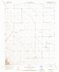
1956 Map of Hammonds Ranch
USGS Topo · Published 1967About this map
The Panoche Hills rise out of the western San Joaquin Valley on this 1956 survey, where the arid landscape meets an intensive network of agricultural development. Irrigation infrastructure defines the terrain, marked by a prominent Levee and the Third Lift Canal that deliver water across the grid. The map captures a moment of established ranching and rural labor, centered around Hammonds Ranch and a nearby Labor Camp. Educational and logistical hubs are represented by the Oro Loma School and a designated Landing Field, indicating the scale of operations in this corner of Fresno County.
Find a feature on this map
18 named features on this map. Tap any name to fly to it.
Don’t see what you’re looking for? This feature index may not catch every label — zoom into the map to look around manually.
Map Details
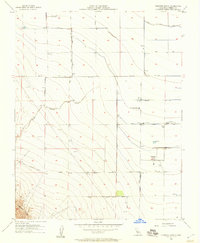
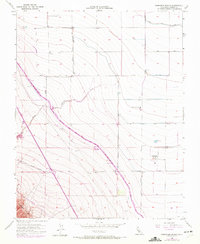
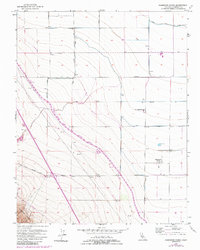
Editions of this 1956 Hammonds Ranch Map
4 editions found
Other maps of this area

1913 · Panoche
USGS Topo · 1:125,000

1921 · Laguna Seca Ranch
USGS Topo · 1:31,680

1921 · Tierra Loma School
USGS Topo · 1:31,680

1922 · Oxalis
USGS Topo · 1:31,680

1922 · Charleston School
USGS Topo · 1:31,680

1922 · Dos Palos
USGS Topo · 1:31,680

1922 · Chaney Ranch
USGS Topo · 1:31,680

1923 · Laguna Seca Ranch
USGS Topo · 1:31,680

1923 · Wisdom Well
USGS Topo · 1:31,680

1923 · Tierra Loma School
USGS Topo · 1:31,680