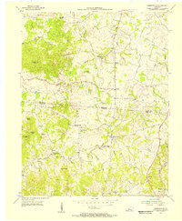
1954 Map of Hammonville
USGS Topo · Published 1955About this map
The boundary between Larue Co Hart Co bisects this mid-century landscape of knobs and hollows, where small rural settlements are linked by a developing road network. At the center of the survey lies Hammonville, while smaller hamlets like Talley, Maxine, and Brooks sit tucked among the hills. The terrain is defined by prominent elevations such as Three Springs Knob and Veach Knob, which give way to deep drainages like Bacon Creek and Honey Run.
Find a feature on this map
41 named features on this map. Tap any name to fly to it.
Don’t see what you’re looking for? This feature index may not catch every label — zoom into the map to look around manually.
Map Details
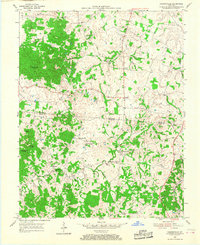
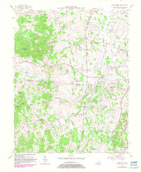
Editions of this 1954 Hammonville Map
3 editions found
Other maps of this area

1934 · Munfordville
USGS Topo · 1:48,000

1935 · Elizabethtown
USGS Topo · 1:48,000

1937 · Munfordville
USGS Topo · 1:62,500

1938 · Elizabethtown
USGS Topo · 1:62,500

1949 · Sonora
USGS Topo · 1:24,000

1949 · Tonieville
USGS Topo · 1:24,000
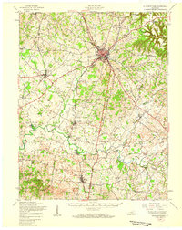
1949 · Elizabethtown
USGS Topo · 1:62,500

1953 · Hudgins
USGS Topo · 1:24,000

1953 · Munfordville
USGS Topo · 1:24,000

1953 · Magnolia
USGS Topo · 1:24,000