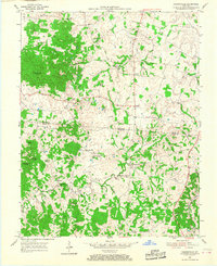
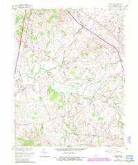
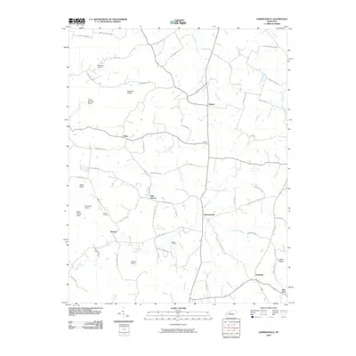
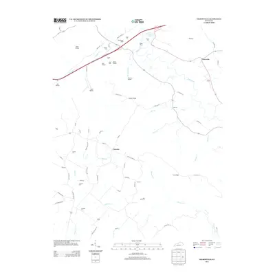
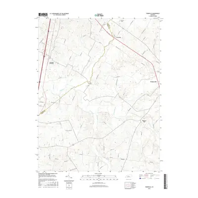
1954 Map of Hammonville
USGS Topo · Published 1968About this map
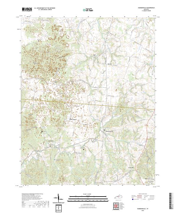
The boundary line between LaRue Co and Hart Co bisects this mid-century landscape, centered on the rural crossroads of Hammonville. The community structure of the 1950s is highly visible, defined by a dense network of country churches and family-named cemeteries. Features like the Oak Hill Mission, Pleasant Valley Ch, and Mt Pisgah Ch anchor the local social fabric, while the Jackson Highway serves as the primary artery through the rolling terrain. The map records a transition in land use, showing scattered Oil Wells and a Quarry alongside established landmarks like Three Springs Knob and Veach Knob. For genealogists, the inclusion of small burial sites such as McCanless Cem and Hodge Cem provides critical spatial data for tracing early families in the region between Brooks and Tampa.
Find a feature on this map
38 named features on this map. Tap any name to fly to it.
Don’t see what you’re looking for? This feature index may not catch every label — zoom into the map to look around manually.
Map Details
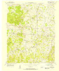
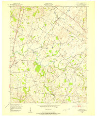
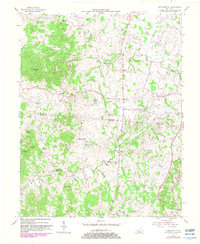
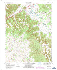
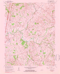
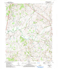
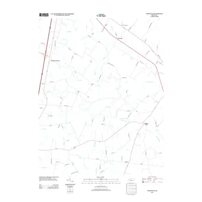
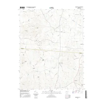
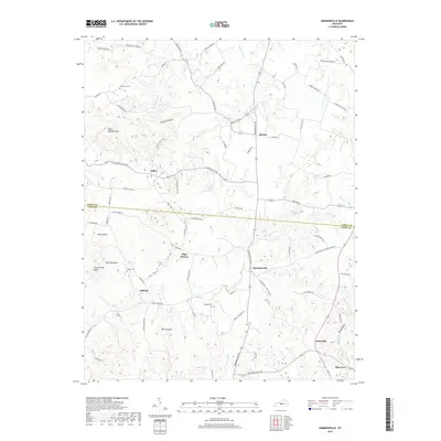
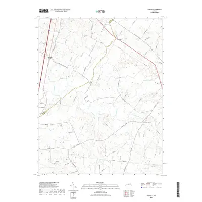
Editions of this 1954 Hammonville Map
3 editions found
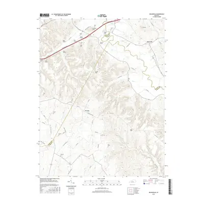
Historical Maps of High Hickory Through Time
22 maps found
1949 Tonieville
Larue County, KY

1953 Nelsonville
Larue County, KY
1954 Hammonville
Larue County, KY
1960 Tonieville
Larue County, KY
1967 Nelsonville
Larue County, KY
1979 Tonieville
Larue County, KY
1992 Tonieville
Larue County, KY
2010 Hammonville
Larue County, KY
2010 Nelsonville
Larue County, KY
2010 Tonieville
Larue County, KY
2013 Hammonville
Larue County, KY
2013 Nelsonville
Larue County, KY
2013 Tonieville
Larue County, KY
2016 Hammonville
Larue County, KY
2016 Nelsonville
Larue County, KY
2016 Tonieville
Larue County, KY
2019 Hammonville
Larue County, KY
2019 Nelsonville
Larue County, KY
2019 Tonieville
Larue County, KY
2022 Hammonville
Larue County, KY
2022 Nelsonville
Larue County, KY
2022 Tonieville
Larue County, KY