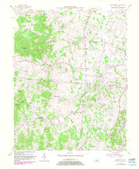
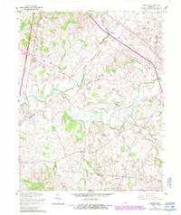
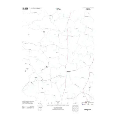
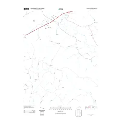
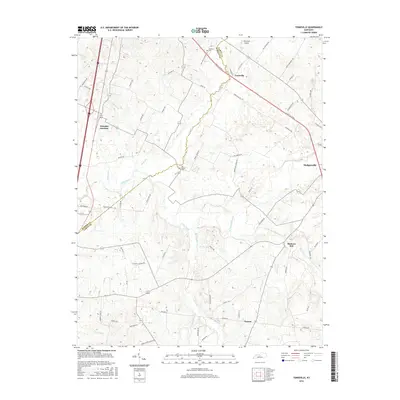
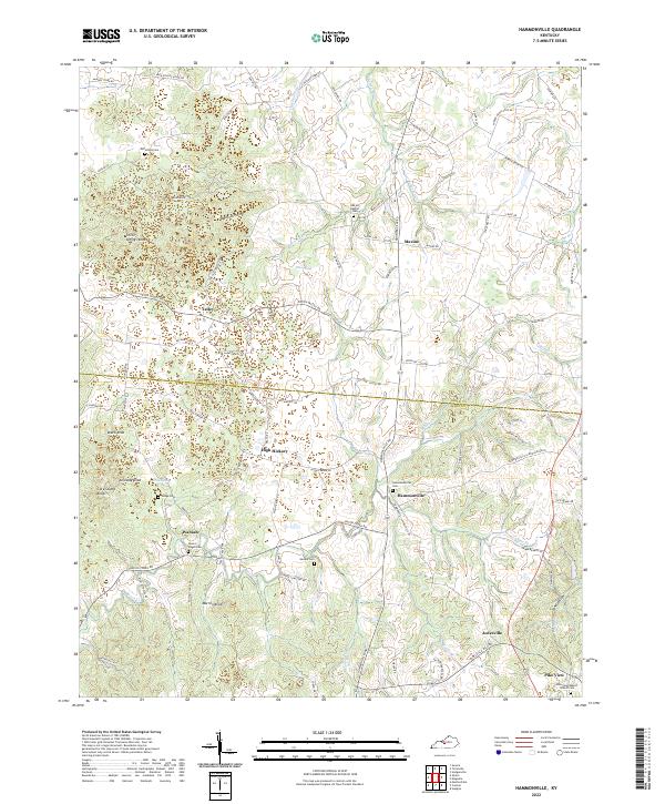
1954 Map of Hammonville
USGS Topo · Published 1982About this map
The borderlands of Larue Co Hart Co come into focus in this mid-century topographic record, centered on the village of Hammonville. The landscape is characterized by a series of prominent elevations including Three Springs Knob and Kennedy Knob, which stand above a network of stream valleys like Barefoot Hollow and Bacon creek. Settlement is dispersed across high ground and valley floors, anchored by local institutions such as Oak Hill Mission and High Hickory Ch. A distinct agricultural and residential pattern emerges through small communities like Tampa, Wabash, and Pike View. Notable family history markers are found in the McCandless Cem and Gaddie Cem, while early industrial activity is evidenced by scattered Oil Well and Gas Well locations. Photorevisions from 1979 overlay the 1954 base, showing the gradual evolution of woodland cover and rural road networks.
Find a feature on this map
45 named features on this map. Tap any name to fly to it.
Don’t see what you’re looking for? This feature index may not catch every label — zoom into the map to look around manually.
Map Details
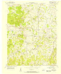
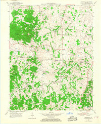
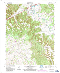
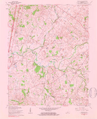
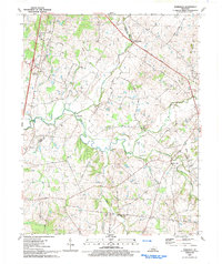
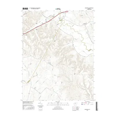
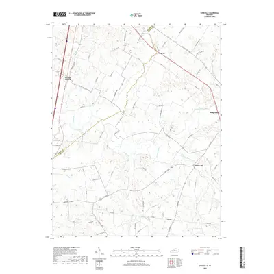
Editions of this 1954 Hammonville Map
3 editions found
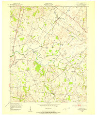
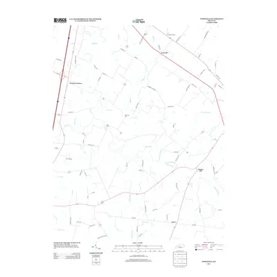
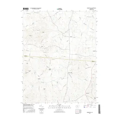
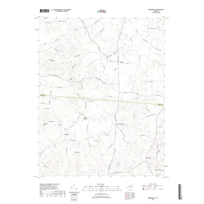
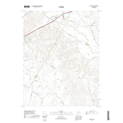
Historical Maps of High Hickory Through Time
22 maps found
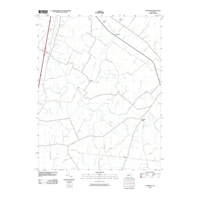
1949 Tonieville
Larue County, KY

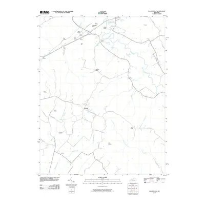
1953 Nelsonville
Larue County, KY
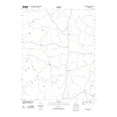
1954 Hammonville
Larue County, KY
1960 Tonieville
Larue County, KY
1967 Nelsonville
Larue County, KY
1979 Tonieville
Larue County, KY
1992 Tonieville
Larue County, KY
2010 Hammonville
Larue County, KY
2010 Nelsonville
Larue County, KY
2010 Tonieville
Larue County, KY
2013 Hammonville
Larue County, KY
2013 Nelsonville
Larue County, KY
2013 Tonieville
Larue County, KY
2016 Hammonville
Larue County, KY
2016 Nelsonville
Larue County, KY
2016 Tonieville
Larue County, KY
2019 Hammonville
Larue County, KY
2019 Nelsonville
Larue County, KY
2019 Tonieville
Larue County, KY
2022 Hammonville
Larue County, KY
2022 Nelsonville
Larue County, KY
2022 Tonieville
Larue County, KY