
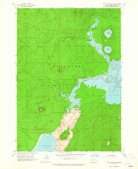
1963 Map of Hamner Butte
USGS Topo · Published 1964About this map
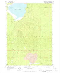
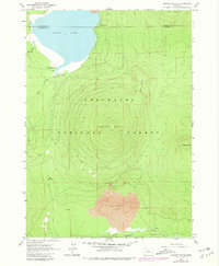
The volcanic topography of the high Cascades dominates this mid-century landscape, centered on the massive prominence of Hamner Butte. To the north, the waters of Davis Lake are fed by Odell Creek and Ranger Creek, while the southern portion of the quadrangle is defined by the stark expanse of the Black Rock Lava field. This area within the Deschutes National Forest shows a landscape shaped by both fire and water, where recreational sites like West Davis Lake Campground and Lava Campground sit near the boundary of Deschutes Co and Klamath Co.
Find a feature on this map
18 named features on this map. Tap any name to fly to it.
Don’t see what you’re looking for? This feature index may not catch every label — zoom into the map to look around manually.
Map Details
Editions of this 1963 Hamner Butte Map
3 editions found
Other maps of this area

1930 · Maiden Peak
USGS Topo · 1:125,000

1934 · Maiden Peak
USGS Topo · 1:125,000

1935 · Chemult
USGS Topo · 1:96,000

1941 · Chemult
USGS Topo · 1:125,000

1955 · Crescent
USGS Topo · 1:250,000

1957 · Crescent
USGS Topo · 1:250,000

1958 · Crescent
USGS Topo · 1:250,000
1963 · The Twins
USGS Topo · 1:24,000
1963 · Odell Lake
USGS Topo · 1:24,000
1963 · Davis Mountain
USGS Topo · 1:24,000