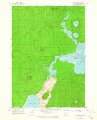
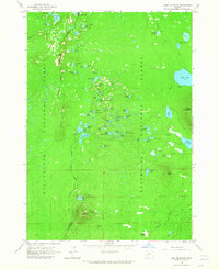
1963 Map of Davis Mountain
USGS Topo · Published 1965About this map
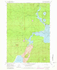
Deschutes National Forest dominates this volcanic landscape, where the Deschutes River winds toward the eastern shoreline of Wickiup Reservoir. The presence of a massive Lava flow south of Davis Creek indicates the area's geologically active past, creating a striking natural boundary between the river system and Davis Lake to the southwest. This 1963 survey captures a specific era of forest management and recreation, documented by a Lookout Tower atop Davis Mountain and a network of campsites including Sheep Bridge Campground and North Wickiup Campground. The map also details the hydrology of the High Cascades, noting numerous Springs and the distinct circular forms of North Twin Lake and South Twin Lake. Evidence of local infrastructure is seen in the Moore Creek Trail and various pits used for materials, such as a Cinder Pit and Borrow Pit.
Find a feature on this map
26 named features on this map. Tap any name to fly to it.
Don’t see what you’re looking for? This feature index may not catch every label — zoom into the map to look around manually.
Map Details
Editions of this 1963 Davis Mountain Map
2 editions found
Other maps of this area

1930 · Maiden Peak
USGS Topo · 1:125,000

1934 · Maiden Peak
USGS Topo · 1:125,000

1955 · Crescent
USGS Topo · 1:250,000

1957 · Crescent
USGS Topo · 1:250,000

1958 · Crescent
USGS Topo · 1:250,000

1963 · Round Mountain
USGS Topo · 1:24,000

1963 · Hamner Butte
USGS Topo · 1:24,000
1963 · The Twins
USGS Topo · 1:24,000
1963 · Odell Lake
USGS Topo · 1:24,000
1963 · Irish Mountain
USGS Topo · 1:24,000