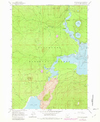
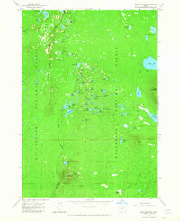
1963 Map of Davis Mountain
USGS Topo · Published 1981About this map
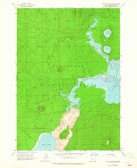
Davis Mountain and the surrounding volcanic terrain dominate this portion of the Deschutes National Forest as it was surveyed in the early 1960s. The landscape is defined by its complex hydrology, where the Deschutes River flows between the circular North Twin Lake and South Twin Lake before entering the northern reaches of the Wickiup Reservoir. A prominent field of Lava marks the central valley floor, a testament to the region's geologically recent activity that shaped the drainage of Davis Lake. Recreation and forest management are evident through the established Pine Butte Loop and Moore Creek Trail, alongside several remote outposts like the Lookout Tower and various forest campgrounds. The map also records the utilitarian aspects of the wilderness, including a Gaging Station on Browns Creek and several cinder pits used for local road maintenance.
Find a feature on this map
28 named features on this map. Tap any name to fly to it.
Don’t see what you’re looking for? This feature index may not catch every label — zoom into the map to look around manually.
Map Details
Editions of this 1963 Davis Mountain Map
2 editions found
Other maps of this area

1930 · Maiden Peak
USGS Topo · 1:125,000

1934 · Maiden Peak
USGS Topo · 1:125,000

1955 · Crescent
USGS Topo · 1:250,000

1957 · Crescent
USGS Topo · 1:250,000

1958 · Crescent
USGS Topo · 1:250,000

1963 · Round Mountain
USGS Topo · 1:24,000

1963 · Hamner Butte
USGS Topo · 1:24,000
1963 · The Twins
USGS Topo · 1:24,000
1963 · Odell Lake
USGS Topo · 1:24,000
1963 · Irish Mountain
USGS Topo · 1:24,000