
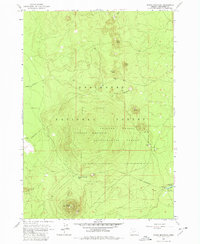
1963 Map of Round Mountain
USGS Topo · Published 1964About this map
Volcanic peaks and forestry research define this portion of the Deschutes National Forest in the mid-1960s. The landscape is dominated by a series of distinct cinder cones, including Round Mountain, Siah Butte, and Palanush Butte. Central to the area's utility is the Pringle Falls Experimental Forest, where the Lookout Mountain unit oversees diverse silviculture and ecological studies. This era shows active development in the forest infrastructure, with several roads marked as under construction across the high-elevation terrain.
Find a feature on this map
17 named features on this map. Tap any name to fly to it.
Don’t see what you’re looking for? This feature index may not catch every label — zoom into the map to look around manually.
Map Details
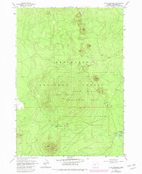
Editions of this 1963 Round Mountain Map
3 editions found
Other maps of this area

1930 · Maiden Peak
USGS Topo · 1:125,000

1934 · Maiden Peak
USGS Topo · 1:125,000

1955 · Crescent
USGS Topo · 1:250,000

1957 · Crescent
USGS Topo · 1:250,000

1958 · Crescent
USGS Topo · 1:250,000
1963 · Elk Lake
USGS Topo · 1:24,000
1963 · Wanoga Butte
USGS Topo · 1:24,000

1963 · La Pine
USGS Topo · 1:24,000
1963 · Pistol Butte
USGS Topo · 1:24,000
1963 · Bachelor Butte
USGS Topo · 1:24,000