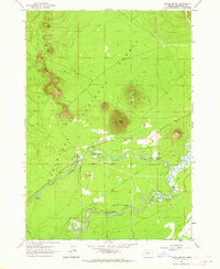
1963 Map of Pistol Butte
USGS Topo · Published 1965About this map
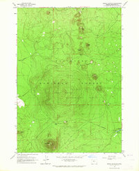
Fall River anchors this mid-century landscape in the Deschutes National Forest, winding eastward through a series of natural and man-made landmarks. The presence of the Fall River Fish Hatchery and a nearby Gaging Station reflect the managed state of these headwaters in the 1960s, while the Fall River Airfield provides a distinct touch of infrastructure amidst the volcanic terrain. Prominent volcanic features like Pistol Butte, which features a Lookout, and Wake Butte define the topography, illustrating the area's geological character.
Find a feature on this map
23 named features on this map. Tap any name to fly to it.
Don’t see what you’re looking for? This feature index may not catch every label — zoom into the map to look around manually.
Map Details
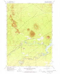
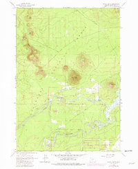
Editions of this 1963 Pistol Butte Map
3 editions found
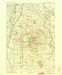
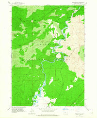
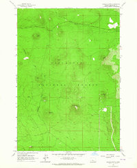
Other maps of this area

1930 · Maiden Peak
USGS Topo · 1:125,000

1931 · Newberry Crater
USGS Topo · 1:125,000

1934 · Maiden Peak
USGS Topo · 1:125,000
1935 · Newberry Crater
USGS Topo · 1:125,000

1955 · Crescent
USGS Topo · 1:250,000

1957 · Crescent
USGS Topo · 1:250,000

1958 · Crescent
USGS Topo · 1:250,000
1963 · Round Mountain
USGS Topo · 1:24,000
1963 · Benham Falls
USGS Topo · 1:24,000
1963 · Wanoga Butte
USGS Topo · 1:24,000