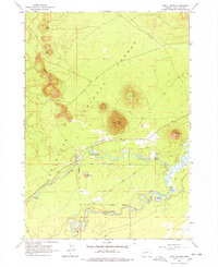
1963 Map of Pistol Butte
USGS Topo · Published 1978About this map
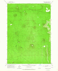
Volcanic buttes and cold-water tributaries define this portion of the Deschutes National Forest as it appeared in the early 1960s. The landscape is dominated by a chain of prominent peaks including Klak Butte, Lolo Butte, and Wake Butte in the northwest, while Pistol Butte stands centrally with a dedicated lookout. These high points oversee a network of forest resource activity, evidenced by multiple Cinder Pits and the Fall River Airfield located just north of the river bend.
Find a feature on this map
24 named features on this map. Tap any name to fly to it.
Don’t see what you’re looking for? This feature index may not catch every label — zoom into the map to look around manually.
Map Details
Editions of this 1963 Pistol Butte Map
3 editions found
Other maps of this area

1930 · Maiden Peak
USGS Topo · 1:125,000

1931 · Newberry Crater
USGS Topo · 1:125,000

1934 · Maiden Peak
USGS Topo · 1:125,000

1935 · Newberry Crater
USGS Topo · 1:125,000

1955 · Crescent
USGS Topo · 1:250,000

1957 · Crescent
USGS Topo · 1:250,000

1958 · Crescent
USGS Topo · 1:250,000

1963 · Round Mountain
USGS Topo · 1:24,000
1963 · Benham Falls
USGS Topo · 1:24,000
1963 · Wanoga Butte
USGS Topo · 1:24,000