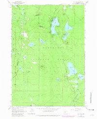
1963 Map of Elk Lake
USGS Topo · Published 1963About this map
Elk Lake and its cluster of mid-century recreation sites anchor this survey of the Cascade high country. The landscape is defined by its volcanic geology and high-altitude hydrology, featuring landmarks like Red Crater and the Cinder Pit alongside a dense network of alpine water bodies including Hosmer Lake and Lava Lake. This 1960s record captures the region as a primitive recreational hub within the Deschutes National Forest, where established campgrounds like Beach Campground and Mallard Marsh Campground served travelers along the Cascade Lakes Highway.
Find a feature on this map
56 named features on this map. Tap any name to fly to it.
Don’t see what you’re looking for? This feature index may not catch every label — zoom into the map to look around manually.
Map Details
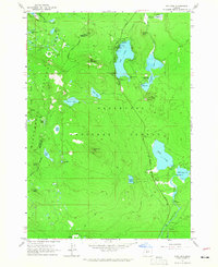
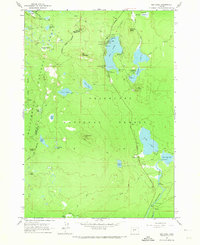
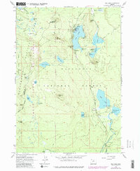
Editions of this 1963 Elk Lake Map
4 editions found
Other maps of this area

1929 · Three Sisters
USGS Topo · 1:125,000

1930 · Maiden Peak
USGS Topo · 1:125,000

1932 · Three Sisters
USGS Topo · 1:125,000

1934 · Maiden Peak
USGS Topo · 1:125,000

1955 · Crescent
USGS Topo · 1:250,000

1955 · Bend
USGS Topo · 1:250,000

1957 · Crescent
USGS Topo · 1:250,000

1957 · Bend
USGS Topo · 1:250,000

1958 · Crescent
USGS Topo · 1:250,000

1958 · Bend
USGS Topo · 1:250,000