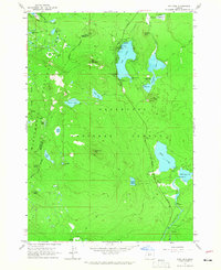
1963 Map of Elk Lake
USGS Topo · Published 1965About this map
The headwaters of the Deschutes River emerge from the volcanic landscape of central Oregon in this mid-1960s study, flowing from Little Lava Lake south through the high mountain forest. This region is defined by a dense concentration of alpine lakes and cinder formations, where the boundaries of the Deschutes National Forest and Willamette National Forest converge near Lane Co Deschutes Co. The landscape includes established outposts like the Elk Lake Guard Sta and Horse Lake Guard Sta, which supported forest management before the expansion of modern recreation.
Find a feature on this map
55 named features on this map. Tap any name to fly to it.
Don’t see what you’re looking for? This feature index may not catch every label — zoom into the map to look around manually.
Map Details
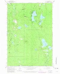
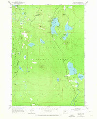
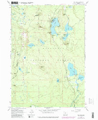
Editions of this 1963 Elk Lake Map
4 editions found
Other maps of this area

1929 · Three Sisters
USGS Topo · 1:125,000

1930 · Maiden Peak
USGS Topo · 1:125,000

1932 · Three Sisters
USGS Topo · 1:125,000

1934 · Maiden Peak
USGS Topo · 1:125,000

1955 · Crescent
USGS Topo · 1:250,000

1955 · Bend
USGS Topo · 1:250,000

1957 · Crescent
USGS Topo · 1:250,000

1957 · Bend
USGS Topo · 1:250,000

1958 · Crescent
USGS Topo · 1:250,000

1958 · Bend
USGS Topo · 1:250,000