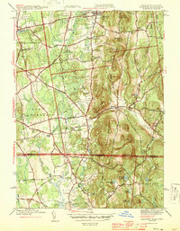
1944 Map of Hampden
USGS Topo · Published 1944About this map
Wilbraham Academy and the historic Wilbraham Church anchor the northern landscape of this mid-century survey, which straddles the border between Massachusetts and Connecticut. The terrain transitions from the developed corridors of Sixteen Acres and Baptist Village to the prominent heights of Minnechoag Mountain and Rattlesnake Peak. This era shows a community defined by its water resources and institutional land use, including the State Game Farm and the East Longmeadow Rod & Gun Club.
Find a feature on this map
80 named features on this map. Tap any name to fly to it.
Don’t see what you’re looking for? This feature index may not catch every label — zoom into the map to look around manually.
Map Details
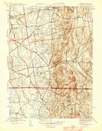
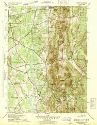
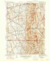
Editions of this 1944 Hampden Map
4 editions found
Other maps of this area

1886 · Springfield
USGS Topo · 1:62,500

1887 · Palmer
USGS Topo · 1:62,500

1889 · Springfield
USGS Topo · 1:62,500

1889 · Palmer
USGS Topo · 1:62,500

1892 · Hartford
USGS Topo · 1:62,500

1892 · Tolland
USGS Topo · 1:62,500

1893 · Springfield
USGS Topo · 1:62,500

1893 · Palmer
USGS Topo · 1:62,500

1895 · Springfield
USGS Topo · 1:62,500

1896 · Holyoke
USGS Topo · 1:125,000