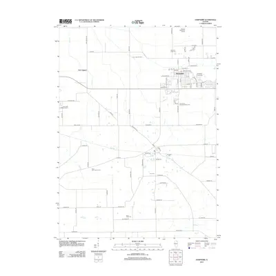
2012 Map of Hampshire
USGS Topo · Published 2012About this map
The town of Hampshire anchors this section of the Illinois prairie, serving as a hub for the surrounding agricultural landscape. Numerous small family and community burial grounds, such as the Ward Family Cem and Union Cem, are scattered throughout the countryside, offering vital points of interest for genealogists tracing early local residents. The land is drained by Coon Cr, which winds past the Coon Creek Sod Farms and the settlement of New Lebanon.
Find a feature on this map
76 named features on this map. Tap any name to fly to it.
Don’t see what you’re looking for? This feature index may not catch every label — zoom into the map to look around manually.
Map Details
Editions of this 2012 Hampshire Map
This is the sole edition of this map. No revisions or reprints were ever made.
Other maps of this area

1925 · Elgin
USGS Topo · 1:62,500

1932 · Geneva
USGS Topo · 1:62,500

1937 · Sycamore
USGS Topo · 1:62,500

1938 · Genoa
USGS Topo · 1:62,500

1940 · Elgin
USGS Topo · 1:62,500

1948 · Geneva
USGS Topo · 1:62,500

1954 · Rockford
USGS Topo · 1:250,000

1955 · Rockford
USGS Topo · 1:250,000

1958 · Aurora
USGS Topo · 1:250,000

1958 · Rockford
USGS Topo · 1:250,000