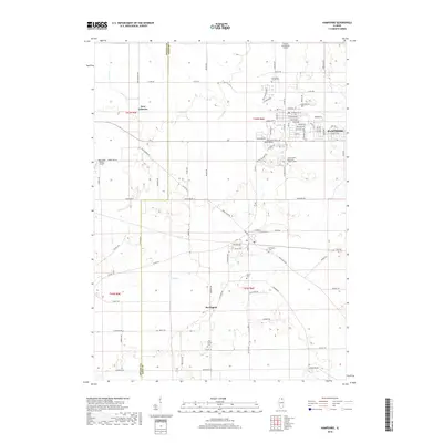
2018 Map of Hampshire
USGS Topo · Published 2018About this map
Hampshire and the surrounding prairie lands of northeastern Illinois are documented here during a period of steady residential growth and agricultural preservation. The landscape is defined by the winding course of Coon Cr and a dense network of county roads that connect the primary settlements of Burlington and New Lebanon. This area, split by the DeKalb and Kane County line, maintains deep genealogical roots visible through its numerous burial grounds, including the Saint Charles Borromeo Catholic Cem and the small Ward Family Cem to the south.
Find a feature on this map
90 named features on this map. Tap any name to fly to it.
Don’t see what you’re looking for? This feature index may not catch every label — zoom into the map to look around manually.
Map Details
Editions of this 2018 Hampshire Map
This is the sole edition of this map. No revisions or reprints were ever made.
Other maps of this area

1925 · Elgin
USGS Topo · 1:62,500

1932 · Geneva
USGS Topo · 1:62,500

1937 · Sycamore
USGS Topo · 1:62,500

1938 · Genoa
USGS Topo · 1:62,500

1940 · Elgin
USGS Topo · 1:62,500

1948 · Geneva
USGS Topo · 1:62,500

1954 · Rockford
USGS Topo · 1:250,000

1955 · Rockford
USGS Topo · 1:250,000

1958 · Aurora
USGS Topo · 1:250,000

1958 · Rockford
USGS Topo · 1:250,000