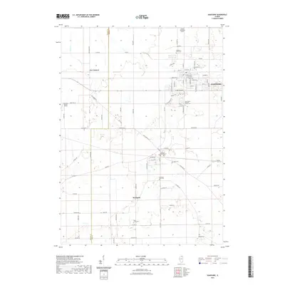
2021 Map of Hampshire
USGS Topo · Published 2021About this map
The village of Hampshire and the surrounding township of Kane County are defined by a network of agricultural roads and growing residential developments at the edge of the Fox River Valley. Settlement patterns here are anchored by historical burial grounds such as Hampshire Center Cem and Saint Charles Borromeo Catholic Cem, which sit amidst a landscape still largely open for aviation, as seen at Edward Getzelman Airport. To the south, Burlington serves as a secondary hub where Burlington Township Cem and Burlington Union Cem mark the community's lineage.
Find a feature on this map
81 named features on this map. Tap any name to fly to it.
Don’t see what you’re looking for? This feature index may not catch every label — zoom into the map to look around manually.
Map Details
Editions of this 2021 Hampshire Map
This is the sole edition of this map. No revisions or reprints were ever made.
Other maps of this area

1925 · Elgin
USGS Topo · 1:62,500

1932 · Geneva
USGS Topo · 1:62,500

1937 · Sycamore
USGS Topo · 1:62,500

1938 · Genoa
USGS Topo · 1:62,500

1940 · Elgin
USGS Topo · 1:62,500

1948 · Geneva
USGS Topo · 1:62,500

1954 · Rockford
USGS Topo · 1:250,000

1955 · Rockford
USGS Topo · 1:250,000

1958 · Aurora
USGS Topo · 1:250,000

1958 · Rockford
USGS Topo · 1:250,000