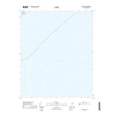
2019 Map of Hampstead OE E
USGS Topo · Published 2019About this map
Topsail Beach occupies a thin sliver of the coastal landscape in the northwestern corner of this map, representing the southernmost reach of the barrier island before the coastline gives way to the open Atlantic Ocean. The settlement pattern is defined by the narrow strip of land between the sea and the sound, with primary local navigation provided by Anderson Blvd and Bridgers Ave. This 2019 survey captures the developed edge of the town as it transitions into the expansive maritime waters that dominate the remainder of the quadrangle. For researchers or property owners, the map provides a precise look at the street-level geography of the beach community just before it terminates at the southern tip of the island.
Find a feature on this map
4 named features on this map. Tap any name to fly to it.
Don’t see what you’re looking for? This feature index may not catch every label — zoom into the map to look around manually.
Map Details
Editions of this 2019 Hampstead OE E Map
This is the sole edition of this map. No revisions or reprints were ever made.
Other maps of this area

1942 · Spicer Bay
USGS Topo · 1:62,500

1942 · Topsail
USGS Topo · 1:62,500

1948 · Topsail
USGS Topo · 1:62,500

1952 · Spicer Bay
USGS Topo · 1:24,000

1953 · Beaufort
USGS Topo · 1:250,000

1954 · Beaufort
USGS Topo · 1:250,000

1970 · Hampstead
USGS Topo · 1:24,000

1970 · Topsail
USGS Topo · 1:24,000
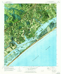
1970 · Holly Ridge
USGS Topo · 1:24,000

1972 · Beaufort
USGS Topo · 1:250,000