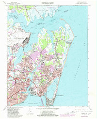
1965 Map of Hampton
USGS Topo · Published 1980About this map
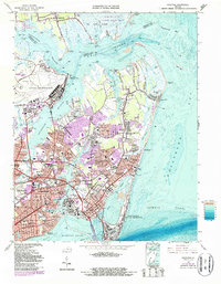
Fort Monroe and the historical gateway of Old Point Comfort anchor this coastal survey, where the Chesapeake Bay meets the urban expansion of the lower Virginia Peninsula. The map documents a significant era of growth for Hampton, with extensive suburban developments like Riverdale, Sinclair Farms, and Buckroe Gardens filling the spaces between long-established sites. To the north, the strategic presence of Langley Air Force Base and the Langley Research Center dominates the landscape near Tabbs Point, while the quiet reaches of the Plum Tree Island National Wildlife Refuge preserve the salt marshes along the Back River. Educational and social hubs, including the Hampton Institute and Hampton High Sch, are situated alongside older neighborhoods like Phoebus and Kecoughtan. The transportation network is defined by the Chesapeake and Ohio railroad and the emerging prominence of Mercury Blvd and the Hampton Roads Bridge-Tunnel.
Find a feature on this map
110 named features on this map. Tap any name to fly to it.
Don’t see what you’re looking for? This feature index may not catch every label — zoom into the map to look around manually.
Map Details
Editions of this 1965 Hampton Map
5 editions found
Other maps of this area

1907 · Norfolk
USGS Topo · 1:125,000

1907 · Hampton
USGS Topo · 1:62,500

1918 · Cape Henry
USGS Topo · 1:62,500

1919 · Cape Henry
USGS Topo · 1:62,500

1921 · Newport News
USGS Topo · 1:62,500

1943 · Richmond
USGS Topo · 1:250,000

1944 · Hampton
USGS Topo · 1:24,000

1944 · Messick
USGS Topo · 1:24,000

1944 · Morrison
USGS Topo · 1:24,000

1944 · Harris Grove
USGS Topo · 1:24,000