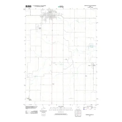
2010 Map of Hampton South
USGS Topo · Published 2010About this map
Hampton serves as the primary hub of this north-central Iowa landscape, characterized by its traditional grid and the presence of the Franklin County Fairgrounds. The city is oriented around central landmarks like the Hampton Post Office, with growth extending south toward the Hampton Municipal Airport. The surrounding rural territory in Franklin County is defined by a rigorous section-line road network and a series of historic burial grounds, including the Towle Cemetery, Maysville Cemetery, and Redding Cemetery. These sites are often found near the meandering paths of Maynes Creek and Squaw Creek, which cut through the agricultural blocks. Smaller rural outposts like Geneva and Bradford maintain their own identities through dedicated local service points like the Geneva Post Office and Bradford Post Office, illustrating the persistent small-town infrastructure of the region.
Find a feature on this map
38 named features on this map. Tap any name to fly to it.
Don’t see what you’re looking for? This feature index may not catch every label — zoom into the map to look around manually.
Map Details
Editions of this 2010 Hampton South Map
This is the sole edition of this map. No revisions or reprints were ever made.
Other maps of this area

1954 · Waterloo
USGS Topo · 1:250,000

1955 · Waterloo
USGS Topo · 1:250,000

1972 · Hansell
USGS Topo · 1:24,000

1972 · Latimer
USGS Topo · 1:24,000

1972 · Hampton North
USGS Topo · 1:24,000

1979 · Ackley NE
USGS Topo · 1:24,000

1979 · Coulter
USGS Topo · 1:24,000

1979 · Iowa Falls West
USGS Topo · 1:24,000

1979 · Ackley
USGS Topo · 1:24,000

1979 · Iowa Falls East
USGS Topo · 1:24,000