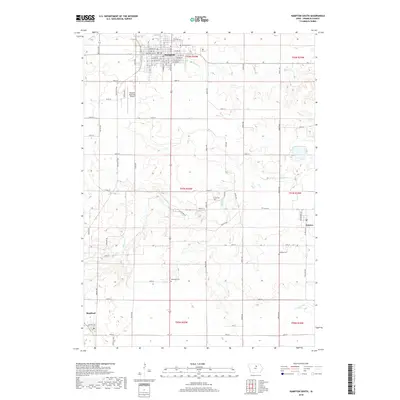
2018 Map of Hampton South
USGS Topo · Published 2018About this map
The southern outskirts of Hampton anchor the northern edge of this 2018 survey, where the town grid transitions into the productive farmland of Franklin County. This landscape is defined by the winding course of Maynes Cr, which meanders across the central portion of the map, and Squaw Cr further north. For genealogists, the area contains several documented burial grounds, including Hampton Cem near the city and the more isolated Towle Cem and Maysville Cem in the rural townships. The small communities of Geneva to the east and Bradford in the southwest are connected by a network of county roads like Co Hwy C55, while the Hampton Municipal Airport and traces of transport history along W Railroad St reveal the region's infrastructure.
Find a feature on this map
53 named features on this map. Tap any name to fly to it.
Don’t see what you’re looking for? This feature index may not catch every label — zoom into the map to look around manually.
Map Details
Editions of this 2018 Hampton South Map
This is the sole edition of this map. No revisions or reprints were ever made.
Other maps of this area

1954 · Waterloo
USGS Topo · 1:250,000

1955 · Waterloo
USGS Topo · 1:250,000

1972 · Hansell
USGS Topo · 1:24,000

1972 · Latimer
USGS Topo · 1:24,000

1972 · Hampton North
USGS Topo · 1:24,000

1979 · Ackley NE
USGS Topo · 1:24,000

1979 · Coulter
USGS Topo · 1:24,000

1979 · Iowa Falls West
USGS Topo · 1:24,000

1979 · Ackley
USGS Topo · 1:24,000

1979 · Iowa Falls East
USGS Topo · 1:24,000