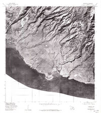
1977 Map of Hanapepe
USGS Topo · Published 1981About this map
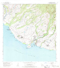
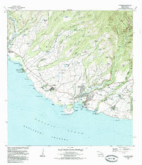
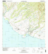
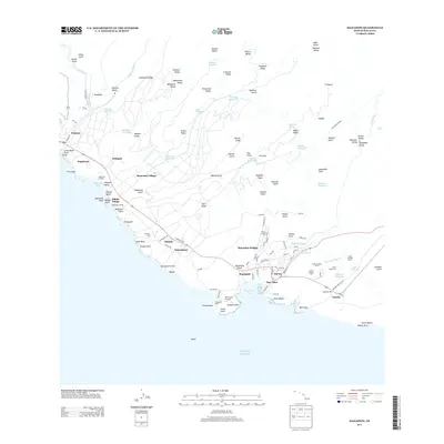
Hanapepe and the surrounding agricultural lands of southern Kauai are captured in this orthophotograph based on aerial photography from the late 1970s. The map illustrates the convergence of river valleys and the sea, specifically where the Waimea River and the Makavelli River cut through the island's interior toward the Pacific Ocean. This aerial perspective highlights the patchwork of cultivated fields and drainage patterns that defined the local economy during this era, offering a literal view of the land's use and the layout of the coastal settlement before modern developments. The imagery provides an exact look at the natural topography and human footprints at the time of the survey, serving as a primary source for understanding the physical geography of the Hanapepe quadrangle.
Find a feature on this map
4 named features on this map. Tap any name to fly to it.
Don’t see what you’re looking for? This feature index may not catch every label — zoom into the map to look around manually.
Map Details
Editions of this 1977 Hanapepe Map
This is the sole edition of this map. No revisions or reprints were ever made.
Historical Maps of Kapalawai Through Time
7 maps found