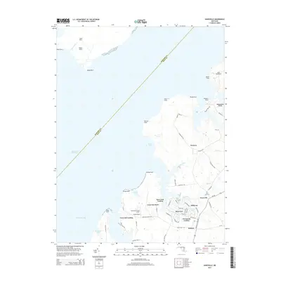
2014 Map of Hanesville
USGS Topo · Published 2014About this map
The eastern shore of the Chesapeake Bay in Kent County defines this coastal landscape, characterized by a complex network of peninsulas and tidal inlets. Near Fairlee Neck, the small settlements of Great Oak Landing and Buck Neck Landing indicate a long-standing orientation toward the water, with the Intracostal Waterway cutting through the western bay waters. The area maintains a rural, maritime character where small residential clusters like Hanesville and Millbrook are interspersed with historical sites such as Saint James Cem. Navigational features are prominent, including the Worton Channel and landmarks like Worton Point and Abbey Point. Further inland, the map captures the transition to agricultural and residential life near Newtown and Melitota, while the Pond View Private Airport serves as a modern touchpoint in this historically water-dependent region.
Find a feature on this map
74 named features on this map. Tap any name to fly to it.
Don’t see what you’re looking for? This feature index may not catch every label — zoom into the map to look around manually.
Map Details
Editions of this 2014 Hanesville Map
This is the sole edition of this map. No revisions or reprints were ever made.
Other maps of this area

1893 · North Point
USGS Topo · 1:62,500

1893 · Gunpowder
USGS Topo · 1:62,500

1898 · Tolchester
USGS Topo · 1:125,000

1900 · Betterton
USGS Topo · 1:62,500

1901 · Chestertown
USGS Topo · 1:62,500

1901 · Gunpowder
USGS Topo · 1:62,500

1903 · Tolchester
USGS Topo · 1:125,000

1904 · North Point
USGS Topo · 1:62,500

1908 · Tolchester
USGS Topo · 1:125,000

1920 · Chestertown
USGS Topo · 1:62,500