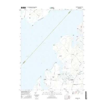
2016 Map of Hanesville
USGS Topo · Published 2016About this map
The eastern shores of the Chesapeake Bay define this coastal landscape, where the waters of the Intracoastal Waterway pass along the Maryland coastline. The map reveals a transition between established agricultural land and water-oriented development, particularly around the complex inlets of Worton Creek and Worton Channel. Small communities such as Newtown and Hanesville sit inland, while the shoreline is dotted with leisure and aviation hubs like Great Oak Landing and the Pond View Private Airport.
Find a feature on this map
81 named features on this map. Tap any name to fly to it.
Don’t see what you’re looking for? This feature index may not catch every label — zoom into the map to look around manually.
Map Details
Editions of this 2016 Hanesville Map
This is the sole edition of this map. No revisions or reprints were ever made.
Other maps of this area

1893 · North Point
USGS Topo · 1:62,500

1893 · Gunpowder
USGS Topo · 1:62,500

1898 · Tolchester
USGS Topo · 1:125,000

1900 · Betterton
USGS Topo · 1:62,500

1901 · Chestertown
USGS Topo · 1:62,500

1901 · Gunpowder
USGS Topo · 1:62,500

1903 · Tolchester
USGS Topo · 1:125,000

1904 · North Point
USGS Topo · 1:62,500

1908 · Tolchester
USGS Topo · 1:125,000

1920 · Chestertown
USGS Topo · 1:62,500