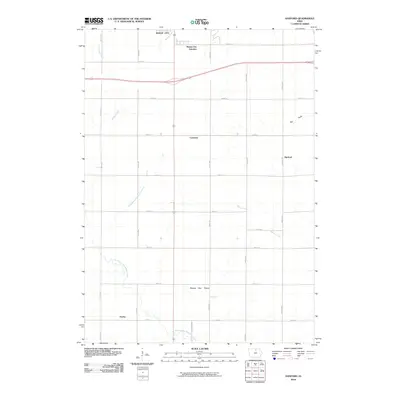
2010 Map of Hanford
USGS Topo · Published 2010About this map
Mason City anchors the northern reaches of this Cerro Gordo County landscape, where urban infrastructure gives way to the structured agricultural grid of north-central Iowa. The survey reveals a network of small outlying settlements and transit points, including Mason City Junction, Cameron, and the quadrangle's namesake of Hanford. These communities are connected by a precise system of named corridors such as Nettle Ave and Spruce Ave, which navigate the subtle drainage patterns of the East Branch Beaverdam Creek and Cheslea Creek.
Find a feature on this map
28 named features on this map. Tap any name to fly to it.
Don’t see what you’re looking for? This feature index may not catch every label — zoom into the map to look around manually.
Map Details
Editions of this 2010 Hanford Map
This is the sole edition of this map. No revisions or reprints were ever made.
Other maps of this area

1954 · Mason City
USGS Topo · 1:250,000

1954 · Waterloo
USGS Topo · 1:250,000

1955 · Waterloo
USGS Topo · 1:250,000

1957 · Mason City
USGS Topo · 1:250,000

1958 · Mason City
USGS Topo · 1:250,000

1959 · Mason City
USGS Topo · 1:24,000

1959 · Mason City
USGS Topo · 1:62,500

1959 · Nora Springs
USGS Topo · 1:24,000

1959 · Mason City SE
USGS Topo · 1:24,000

1959 · Hanford
USGS Topo · 1:24,000