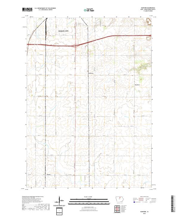
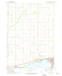
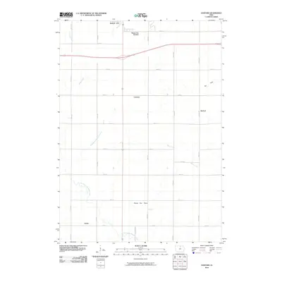
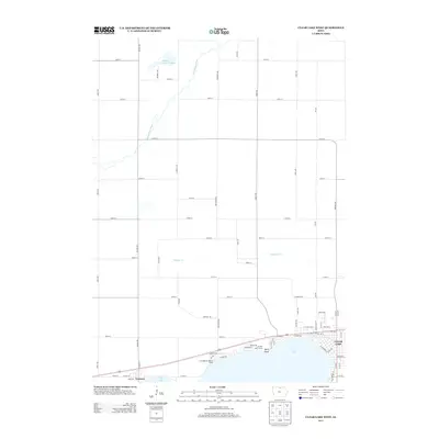
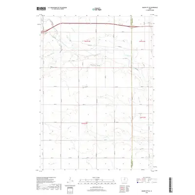
2022 Map of Hanford
USGS Topo · Published 2022About this map
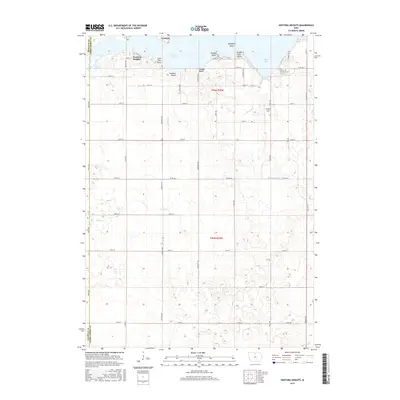
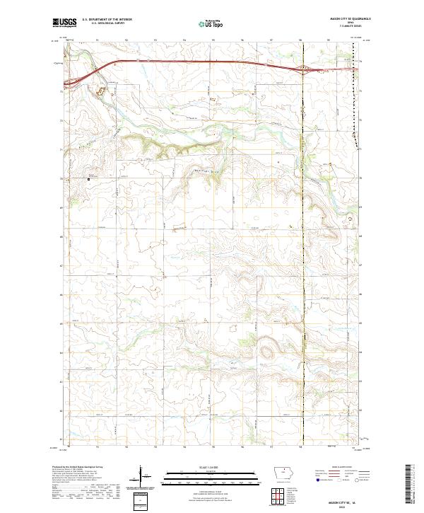
Mason City anchors the northern reaches of this Cerro Gordo County landscape, where the transition from urban outskirts to agricultural grid is defined by a dense network of sectional roads. The topography is marked by several drainage systems, including Mason Cr and Cheslea Cr, which carve subtle valleys through the farmland. Small rural settlements like Hanford, Hurley, and Cameron remain as distinct nodes within the township system, often centered at key intersections such as where Partridge Ave meets local county roads.
Find a feature on this map
41 named features on this map. Tap any name to fly to it.
Don’t see what you’re looking for? This feature index may not catch every label — zoom into the map to look around manually.
Map Details
Editions of this 2022 Hanford Map
This is the sole edition of this map. No revisions or reprints were ever made.
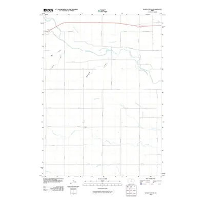
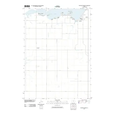
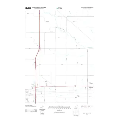
Historical Maps of Mason City Through Time
30 maps found
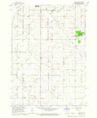
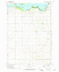
1959 Hanford
Cerro Gordo County, IA
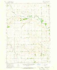
1959 Mason City SE
Cerro Gordo County, IA
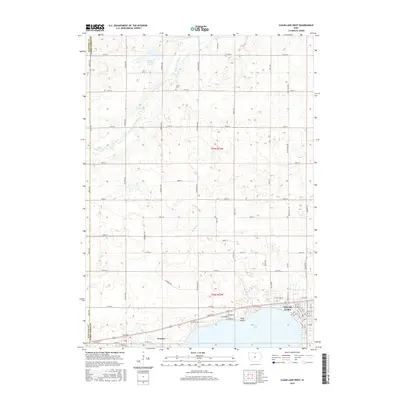
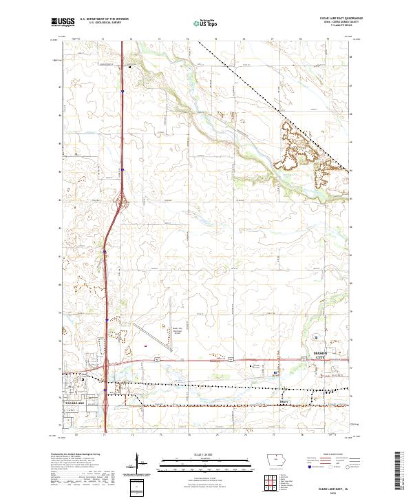
1972 Clear Lake East
Cerro Gordo County, IA
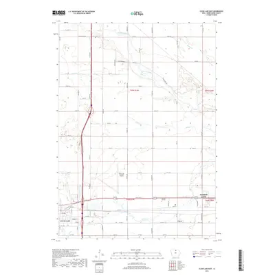
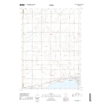
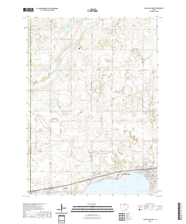
1972 Clear Lake West
Cerro Gordo County, IA
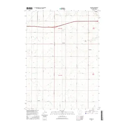
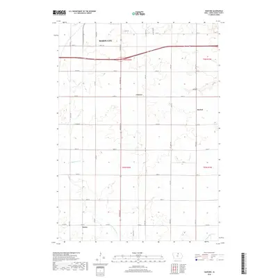
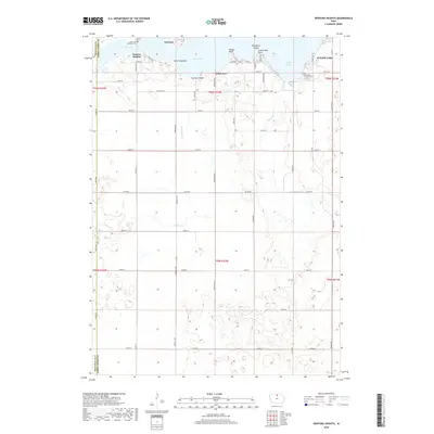
1972 Ventura Heights
Cerro Gordo County, IA
2010 Clear Lake East
Cerro Gordo County, IA
2010 Clear Lake West
Cerro Gordo County, IA
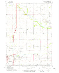
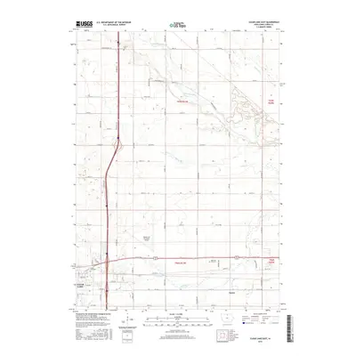
2010 Hanford
Cerro Gordo County, IA
2010 Mason City SE
Cerro Gordo County, IA
2010 Ventura Heights
Cerro Gordo County, IA
2013 Clear Lake East
Cerro Gordo County, IA
2013 Clear Lake West
Cerro Gordo County, IA
2013 Hanford
Cerro Gordo County, IA
2013 Mason City SE
Cerro Gordo County, IA
2013 Ventura Heights
Cerro Gordo County, IA
2015 Clear Lake East
Cerro Gordo County, IA
2015 Clear Lake West
Cerro Gordo County, IA
2015 Hanford
Cerro Gordo County, IA
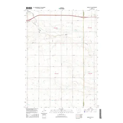
2015 Mason City SE
Cerro Gordo County, IA
2015 Ventura Heights
Cerro Gordo County, IA
2018 Clear Lake East
Cerro Gordo County, IA
2018 Clear Lake West
Cerro Gordo County, IA
2018 Hanford
Cerro Gordo County, IA
2018 Mason City SE
Cerro Gordo County, IA
2018 Ventura Heights
Cerro Gordo County, IA
2022 Clear Lake East
Cerro Gordo County, IA
2022 Clear Lake West
Cerro Gordo County, IA
2022 Hanford
Cerro Gordo County, IA
2022 Mason City SE
Cerro Gordo County, IA
2022 Ventura Heights
Cerro Gordo County, IA