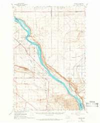
1965 Map of Hanford
USGS Topo · Published 1966About this map
The Hanford Works area in south-central Washington is shown here during a period of significant government operation and restricted access. This survey details the landscape surrounding the Columbia River as it winds through the White Bluffs and past Gable Mountain. The terrain is characterized by the broad Wahluke Slope to the north and shifting Sand Dunes to the south.
Find a feature on this map
37 named features on this map. Tap any name to fly to it.
Don’t see what you’re looking for? This feature index may not catch every label — zoom into the map to look around manually.
Map Details
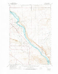
Editions of this 1965 Hanford Map
2 editions found
Other maps of this area

1911 · Red Rock
USGS Topo · 1:62,500

1915 · Prosser
USGS Topo · 1:125,000

1916 · Coyote Rapids
USGS Topo · 1:62,500

1917 · Pasco
USGS Topo · 1:125,000

1917 · Prosser
USGS Topo · 1:125,000

1923 · Corfu
USGS Topo · 1:62,500

1924 · Othello
USGS Topo · 1:62,500

1924 · Hanford
USGS Topo · 1:62,500

1925 · Scooteney Lake
USGS Topo · 1:62,500

1950 · Smyrna
USGS Topo · 1:62,500